Documenting knapweed in dunes. Analyzing northern peatlands. Growing woody mass for biofuels. Conserving the California Condor. Research thrives in the College of Forest Resources and Environmental Science.
"Most land-use change occurs with little understanding of the consequences for ecosystem services or local communities that may depend on them."David Flaspohler, dean
Our successes (top-ranked for research citations per faculty member) are important to Michigan Tech's role as a leading public research university. Headquartered in the boreal forests of the Lake Superior region, our reach extends far beyond, from South American rainforests to Arctic permafrost.
Research Areas
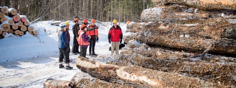
Research infuses all we do in our nationally recognized forestry program. Research-based MS and PhD programs, as well as SAF-accredited forestry and master of forestry degrees, provide a springboard for research all over the globe, catalyzed by a vital faculty dedicated to world-scale work on forest-management issues, and how human activities impact ecological processes in forests. Our work runs the gamut, from canopy photosynthesis to invasive earthworms. From silvicultural management systems for zeric jack pine forests in the Lakes States Region to heating in tropical forests. Our work touches all aspects of the industry including regeneration, conservation, and sustainable harvests for bioenergy development.
Forestry Contacts
The moose and wolves of Isle Royale—the longest-running predator prey study in the world—and wolf studies at Yellowstone National Park. How predation and ecosystem size impact arthropod food webs in Hawaiian forests. Increasing biodiversity and habitat complexity in Great Lakes wetlands. From habitat modeling, field studies of demographic traits, and animal behavior studies, to stable isotope analysis, our internationally recognized scientists take on the big issues: overabundant game species, the role of large animals in forest nutrient recycling, how wind and biomass energy development affects wildlife, and how wildlife resource management affects humankind.
Wildlife Ecology and Management Contacts
Studying how hydrology and glacial retreat affect a Peruvian cattle-farming community. Ecosystem effects of aquatic herbivory by moose and beaver. Modeling tools to help Appalachian landowners maintain healthy landscapes. The many nuances of natural resources, applied ecology, and environmental science compel us to understand forest, rural and urban networks as part of the integrative landscape—and to consider the human context for management and decision-making. Areas of focus include forest, bioenergy, and water resource management, and public involvement. Our faculty also studies individual species, animal-ecosystem interactions, climatological studies, and carbon and water cycling in forests and wetlands.
Natural Resources, Applied Ecology, and Environmental Science Contacts
The biotechnology and molecular genetics program focuses on understanding the life process and genetic controls of forest organisms as they relate to their environment. Researchers study how ecosystems react to environmental change: divergence in multispecies oak communities, bud break in woody perennials, drought response, low-nitrogen root development, and seasonal dormancy. They study historical, ecological, and population genetics to bridge the gap between ecological and genetic approaches. They use cuttings and tissue cultures to cultivate and sustain species like American chestnut and Chinese elm. They collaborate in interdepartmental work that furthers breakthroughs in microarray and RNA sequencing, plant-genomics, human-environmental sustainability science, and biodiversity conservation.
Biotechnology and Molecular Genetics Contacts
The Michigan Tech biomaterials program harnesses University-wide programs, schools, and resources to follow forest biomaterials from production, engineering, and marketing to recycling and ecological sustainability. Research projects encompass harvesting, soil productivity, policy, urban forestry, conversion of biomass into high-value carbon products, timber assessment, and acting as an educational conduit that allow the region to respond to the promising, yet-untapped market in the ninth-most-forested state in the nation.
Forest Biomaterials Contacts
Conifer and mesquite encroachment into prairie chicken habitats. Understanding vulnerability to burning. Soil erosion risk assessment. Spectral detection of near-surface moisture content. Conducting biomass inventory. Applications for remote sensing and geospatial technology are boundless—as we detect, map, compare, inventory, and model during the course of our research. All of the College's undergraduate programs include a strong geospatial component, including classes in Geographic Information Systems, and Global Positioning Systems (GPS), and remote sensing. GIS training and support is also pivotal to all of our graduate programs and we offer a professional Masters of Geographic Information Science. Integrated geospatial technology resources that address aquatic ecology and ecosystem dynamics are housed in Michigan Tech's Great Lakes Research Center. In addition to College research, interdisciplinary studies abound.
Remote Sensing and Geospatial Contacts
"In my laboratory, we use methods of molecular genetics and genomics to understand how trees grow, develop and interact with their environment. "Victor Busov, researcher