
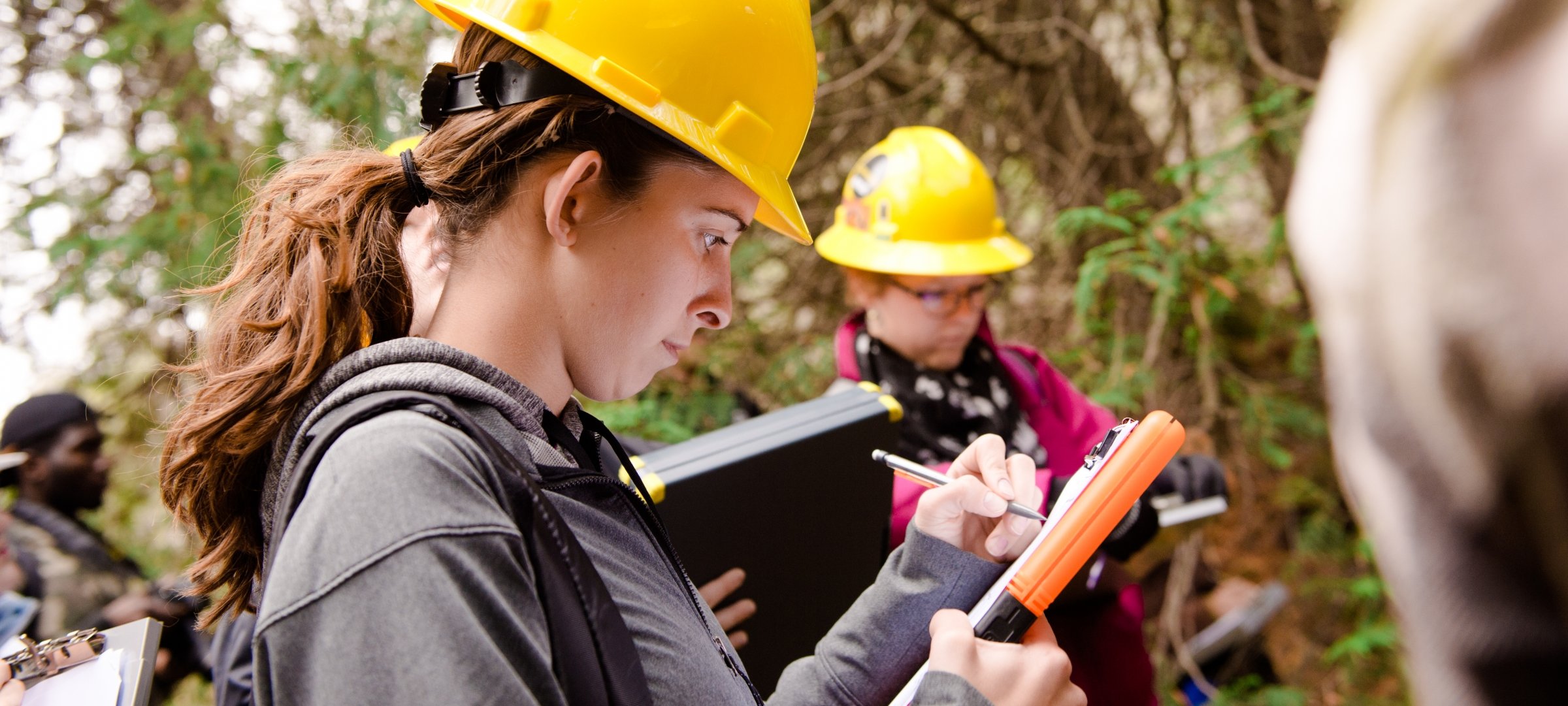
Get outside.
Geospatial engineers measure the physical features of the Earth with great precision. Combine a love of math, computing, and the outdoors with tools ranging from remote-sensing systems to transits to verify and establish land boundaries or the design and layout of infrastructure, including roads, bridges, and cell phone towers. Be prepared for a career as a professional surveyor.
Request Information
Form loading . . .
Work with unmanned aerial vehicles, GIS, LiDAR scanning systems, and high-precision optical and electronic instruments. Develop the skills to work with the technology of tomorrow. Participate in co-ops, internships, and undergraduate research opportunities like 3D mapping of local historical sites or researching GPS mapping accuracy using our CORS station. Learn from world-class faculty in small classes, allowing you to get to know your professors on a first-name basis. Focus your studies on geodesy, cartography, photogrammetry, or geographic information systems (GIS). Qualify to take the Fundamentals of Surveying exam and be certified as a professional surveyor. You can also earn a master’s in one additional year through our Accelerated Master’s program.
"Sitting at a desk job from 9 to 5 never truly appealed to me; I was looking for a career that would fulfill my need for adventure and allow me to spend time outdoors."
Ready to learn more about geospatial engineering at Michigan Tech? Explore additional degree details, including courses, sample schedules, career paths, and post-graduation outcomes.