-
Programs Offered
- Certificate
-
Delivery Options
- Online
- On-Campus
- Accelerated
-
Credits
- 9 credits
-
Timeline
- One–three semesters
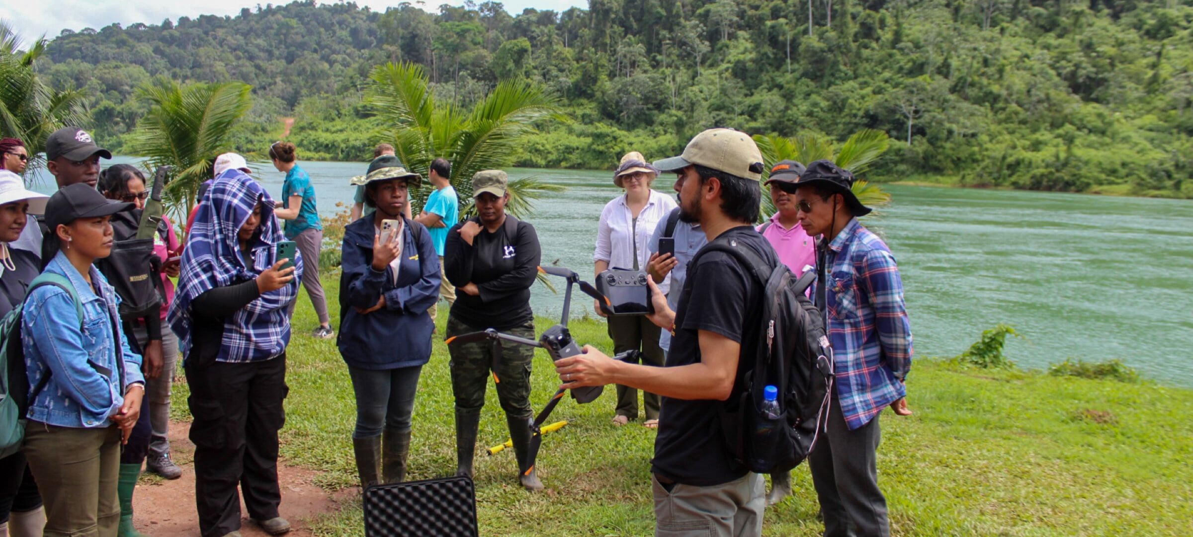
Gain Geospatial Skills in Forestry, Conservation, and Environmental Science
The online and on-campus Advanced Geographic Information Science (GIS) for Natural Resources certificate at Michigan Tech is designed for professionals and students who want to deepen their expertise in geospatial analysis for forestry, natural resource management, conservation, and environmental science. Unlike broader GIS programs, this certificate offers a specialized focus on applying geographic information science to critical environmental and natural resource challenges. Developed in collaboration with GIS industry experts and informed by alumni working as GIS analysts, the program ensures that students gain practical, career-ready skills. Additionally, Michigan Tech’s College of Forest Resources and Environmental Science (CFRES) fosters strong partnerships with organizations like the Michigan Department of Natural Resources and private industries, providing unique opportunities for collaboration and funding.
As the demand for spatial data and mapping continues to grow in the era of big data, this certificate equips students with the advanced skills needed to analyze and interpret complex geographic information. Through coursework and applied learning, students gain hands-on experience with industry-leading tools and technologies.
Who is This Certificate For?
The Advanced GIS for Natural Resources certificate at Michigan Tech is designed for both current students and working professionals looking to expand their expertise in geospatial technology. Graduate students can integrate this certificate into their degree program, adding a powerful technological edge that enhances their job market competitiveness. For professionals, this certificate offers a direct path to skill enhancement and career advancement, whether they’re seeking a promotion, transitioning into a GIS-focused role, or staying ahead in an evolving industry.
What You Need to Know
Students in the graduate certificate in advanced geographic information science for natural resources will achieve advanced proficiency in generating, visualizing, processing, analyzing, and managing geospatial data through the application of industry-standard GIS software—including ArcGIS Pro, ArcGIS Online, and others—alongside advanced programming techniques like Python. They will master sophisticated GIS concepts and methodologies, enabling the analysis of large and complex datasets, the automation of routine geospatial workflows, and the effective management of geodatabases. Furthermore, students will cultivate expertise in designing, executing, and communicating comprehensive geospatial projects. These skills will empower them to address real-world challenges, deliver innovative solutions, and excel in professional and industry-level geospatial roles. Students will be able to apply and implement practical skills relevant to the field to real-world projects and research.
Admissions
Students with majors in natural resources management, surveying, geography, or civil and environmental engineering are preferred for enrollment. However, other majors will be considered. See complete admissions requirements.
Accelerated Option
Michigan Tech Bachelor's + 1 Semester = Accelerated Graduate Certificate
Current Michigan Tech undergraduates or recent alumni, get started right away. Our accelerated graduate certificates are a fast, affordable way to add graduate credentials to your bachelor's degree in as little as one semester. Be more marketable in your industry or prepare for your master's degree. Explore accelerated certificate options.
Online Option
Accredited Courses, Convenience
Online learning at Michigan Tech provides greater flexibility and can fit around your busy schedule wherever you are. Upgrade or change your career path.
Prospective students can earn an online graduate certificate in Advanced Geographic Information Science (GIS) for Natural Resources.
Credits
This graduate certificate requires a minimum of 9 total credits. Students may apply the credits earned for this certificate toward a graduate degree at Michigan Tech.
Faculty Spotlight
"GIS and Remote Sensing are at the forefront of modern science and technology. It helps visualize, analyze, and decode the answers to what kind of world we want for ourselves."

Parth Bhatt
- Assistant Teaching Professor/Researcher
- College of Forest Resources and Environmental Science