The Remote Sensing for Natural Resources certificate focuses on using satellite and aerial imagery to monitor, measure, and model natural systems. Learn how to interpret remote sensing data to support sustainable resource management, conservation planning, and environmental monitoring.
What Will I Learn?
Offered through the College of Forest Resources and Environmental Science (CFRES), a nationally recognized leader in environmental science, these fully online, stackable certificates combine technical GIS training with a deep natural resource context, giving learners more than just software skills. Through lectures, computer laboratories and field experiences you’ll learn how to analyze and visualize geospatial data in the form of maps with the most widely used GIS software.
Whether you work in forestry, environmental compliance, conservation, water resources, or land/urban planning, these certificates enable you to translate geospatial data into actionable insights for the natural world. You'll emerge with applied skills that immediately enhance your effectiveness in managing landscapes, habitats, watersheds, and human-wildland interfaces.
Plus, being part of CFRES means joining a learning community dedicated to sustainability, innovation, and environmental stewardship. Make your credential not just a career booster, but part of a bigger mission.
Professionals earning the Remote Sensing for Natural Resources certificate develop strategic skills in geospatial data analytics and information science:
- Gain the advanced coding skills necessary to automate and effectively perform certain Remote Sensing analyses
- Explore remote sensing principles and concepts including camera and digital sensor arrays, types of imagery, digital data structures, spectral reflectance curves, applications, and introductory digital image processing.
- Experience applied introductory remote sensing analysis using industry standard software for digital image processing.
- Learn the theory and quantitative procedures of digital image processing using remotely sensed data with an emphasis on image acquisition, preprocessing, enhancement, transformation classification techniques, accuracy assessment, and out-products.
- Evaluate applications of GIS technology to current resource management problems via peer-reviewed literature.
- Review, present, and discuss current research and applications of geospatial technology.
Why It Matters
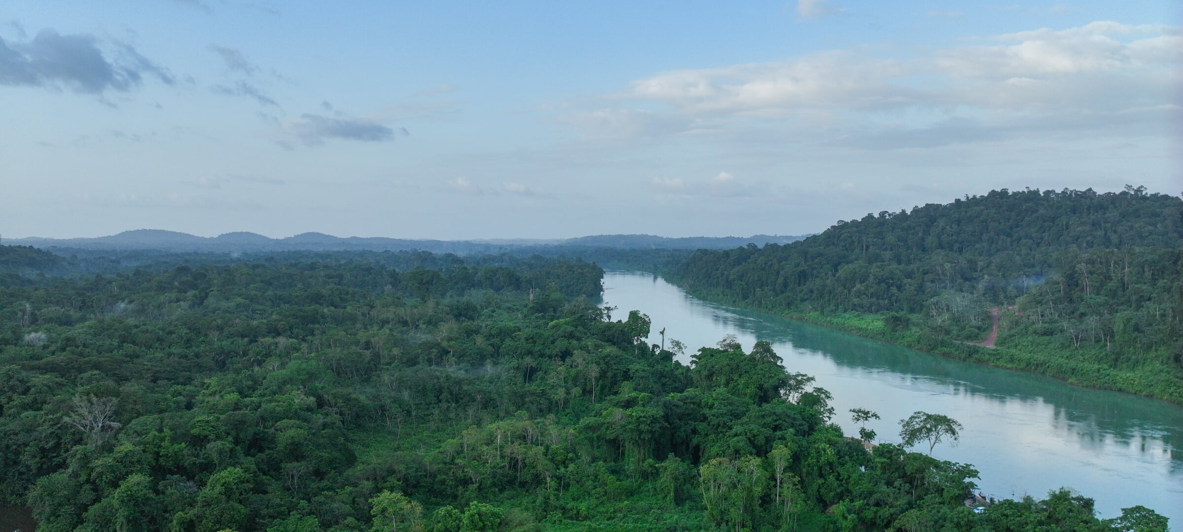
Remote sensing is essential for tracking forest health, mapping wetlands, detecting invasive species, and responding to environmental change. This certificate gives you critical tools to interpret earth observation data for effective action.
Who is this Certificate For?
This certificate is for qualified professionals who want to enhance their skill set and can be a foundation to continue toward a graduate degree. It is also valuable for degree-seeking students looking to develop a concentration that gives them an edge in their career path.
- GIS professionals seeking specialization in imagery analysis
- Forestry, ecology, and environmental science practitioners
- Researchers and consultants working with satellite or drone data
- Anyone managing large landscapes or monitoring environmental change