The Advanced GIS Certificate builds upon foundational skills to explore complex geospatial workflows, programming, and project management, equipping you to lead geospatial initiatives in any natural resource setting.
What Will I Learn?
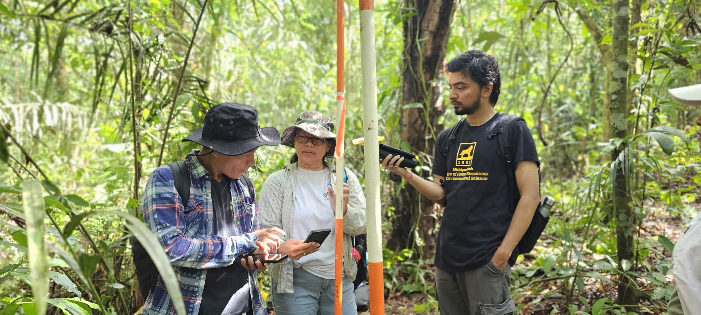
Offered through the College of Forest Resources and Environmental Science (CFRES), a nationally recognized leader in environmental science, these fully online, stackable certificates combine technical GIS training with a deep natural resource context, giving learners more than just software skills. Through lectures, computer laboratories and field experiences you’ll learn how to analyze and visualize geospatial data in the form of maps with the most widely used GIS software.
Whether you work in forestry, environmental compliance, conservation, water resources, or land/urban planning, these certificates enable you to translate geospatial data into actionable insights for the natural world. You'll emerge with applied skills that immediately enhance your effectiveness in managing landscapes, habitats, watersheds, and human-wildland interfaces.
Plus, being part of CFRES means joining a learning community dedicated to sustainability, innovation, and environmental stewardship. Make your credential not just a career booster, but part of a bigger mission.
Professionals earning the Advanced GIS for Natural Resources certificate develop strategic stills in geospatial data analytics and information science:
- Explore environmental geoscience, geospatial statistics, modeling and visualization, predictive analytics, and remote sensing applications.
- Master industry standard tools, such as ArcGIS and Python. Write and debug
- Python scripts, models and mapping programs.
- Move beyond the fundamentals of GIS and explore applying GIS technology to environmental monitoring and resource management issues.
- Learn graphic modeling techniques, network analysis, 3D visualization, geodatabase construction and management, and multivariate spatial analysis.
- Gain exposure to data collection techniques, web mapping applications and advanced database structures.
- Investigate GIS system design, project planning and data management.
- Learn map atlas creation and cartographic techniques
- Discuss geospatial ethics
Why It Matters
In today’s job market, the ability to automate, scale, and lead geospatial projects is in high demand. This certificate equips you with the tools and mindset to handle big data, advanced analysis, and team-based GIS implementations.
Who is this Certificate For?
This certificate is for qualified professionals who want to enhance their skill set and can be a foundation to continue toward a graduate degree. It is also valuable for degree-seeking students looking to develop a concentration that gives them an edge in their career path.
- Graduates of the Foundations certificate
- GIS professionals aiming to specialize in natural resources
- Project leaders and analysts seeking managerial GIS skills
- Professionals in government, NGO, or consulting sectors