
Elevate your ambitions.
Choose the right online and on-campus engineering certificate for you:

Advanced Electric Power Engineering
Simulate the fluid dynamics and heat transfer problems critical to flow studies.
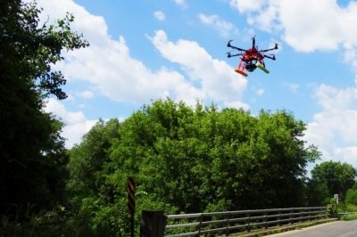
Advanced Photogrammetry and Mapping with UAS
Prepare for the mapping use of unmanned aerial systems (UAS).

Aerodynamics
Refresh your fluid mechanics background and move into advanced concepts and applications.
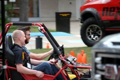
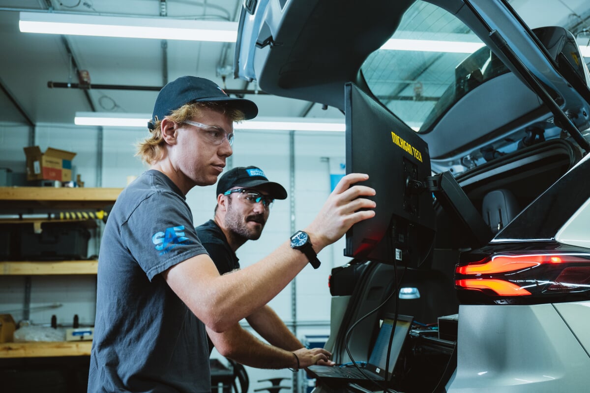
Automotive Systems and Controls
Develop a foundation of analytical mechanics and multiphysics modeling.

Computational Fluid Dynamics
Simulate the fluid dynamics and heat transfer problems critical to flow studies.

Control Systems
Learn to apply control systems in automotive, energy, aerospace, robotics, and manufacturing sectors.

Electronics Materials and Processing
Analyze and develop electronic and electromechanical materials.

Hybrid Electric Drive Vehicle Engineering
Explore the principles of geospatial statistics and modeling.

Manufacturing Engineering
Understand manufacturing leadership, tolerance analysis, and Industry 4.0 concepts.


Profit-Increasing Strategies in Chemical Processing
Learn chemical process simulation, economics, automation, and control.

Quality Engineering
Learn SPC, Lean, and DOE tools and techniques for process and product quality and productivity improvement.

Safety and Security of Autonomous Cyber-Physical Systems
Focus on cyber-physical safety and security strategies.


Structural Engineering: Advanced Analysis
Learn the advanced structural engineering tools necessary for analysis of large and inherently-complex structures.

Structural Engineering: Bridge Analysis and Design
Use modern methods to analyze and design bridges.

Structural Engineering: Building Design
Acquire the ability to perform design tasks for building structures.

Structural Engineering: Hazard Analysis
Determine the risk of environmental load effects applied to structures.

Structural Engineering: Timber Building Design
Gain comprehensive knowledge of timber structures from experts.


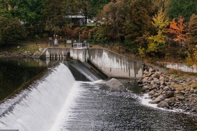
Water Resources Modeling
Develop expertise in water resource modeling to drive decision-making in high-demand environments.
More About Online Engineering Courses
Ready to dive into online engineering? Discover online engineering courses and connect with experienced instructors to level up your skills! Explore detailed course info by topic, cost, and curriculum, and find the perfect program to jumpstart your career.