What is a high-frequency radar?
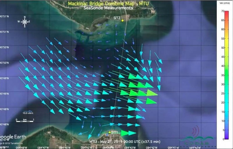
High-frequency or HF radar is a shore-based remote sensing system used to measure offshore water surface currents by sending a low-power electromagnetic pulse over the water surface. The electromagnetic pulse interacts with surface waves on the lake/ocean and bounces back to the antenna. By measuring the characteristics of the returning pulse we can map the speed and direction of the underlying (near surface) lake currents.
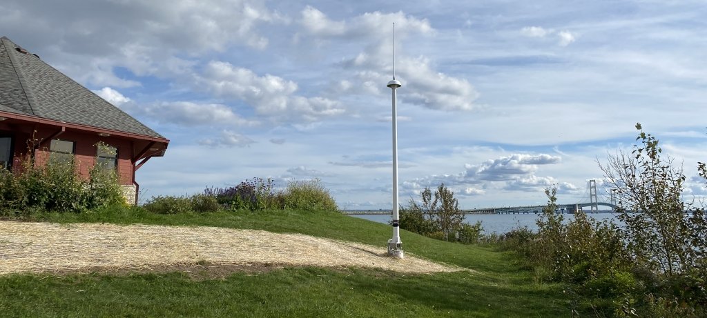
With funding from the Great Lakes Observing System (GLOS) and the State of Michigan Department of Environment, Great Lakes and Energy (EGLE), the Great Lakes Research Center of Michigan Technological University installed two 14-foot CODAR SeaSonde HF radar antenna masts and computer systems, one on each side of the Straits just west of the Mackinac Bridge.
The Goal of the HF Radars
What these two radars observe of the surface currents across the Straits is combined to form hourly maps of surface flow (current speed and direction) across this body of water. These maps provide crucial data that can be used to direct search and recovery efforts, inform ships and smaller vessels of currents, guide sportsmen to optimum fishing sites, and generally help us better understand and manage this critical natural resource.
Systems like these have been installed all over the world and especially along the ocean coasts of the United States. Data from the US-based systems are made available to the public through the National HF Radar Network website. The new installation, just west of the Mackinac Bridge, is the first operational freshwater installation in the US and in the Great Lakes. It is currently being tested and optimized to work in this new environment. Hourly current maps are publicly available through the Geospatial Research Facility data portal, the Upper Great Lakes Observing System data portal, the Great Lakes Observing System data portal as well as the National HF Radar Network website.


Publications
- Evan Lucas, Chris Pinnow, Timothy C. Havens (2024). Surface current prediction in the Straits of Mackinac using HF radar. International Assoc. Great Lakes Research.
- Meadows, L.A., C. Whelan, D. Barrick, R. Kroodsma, C. Ruf, C.C. Teague, G.A. Meadows and S. Wang, “High Frequency Radar and its Application to Fresh Water,” Journal of Great Lakes Research, in press, 2013.
- D. M. Fernandez, L. A. Meadows, J. F. Vesecky, C. C. Teague, J. D. Paduan and P. Hansen, "Surface current measurements by HF radar in freshwater lakes," in IEEE Journal of Oceanic Engineering, vol. 25, no. 4, pp. 458-471, Oct. 2000, doi: 10.1109/48.895353.
Image Gallery
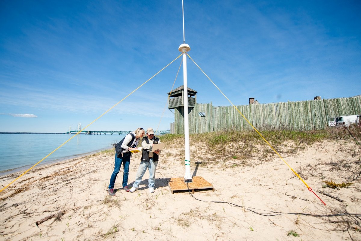
HF Radar Pilot Test
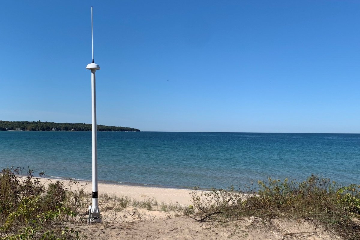

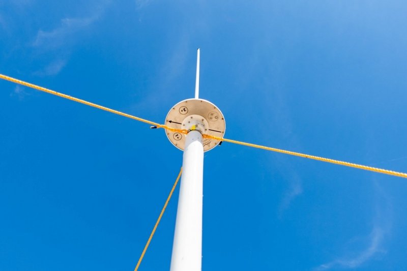
Housing the transmitter, receiver and computer system to manage the site.

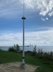
Looking toward the Mackinac Bridge

In front of Fort Michilimackinac

Housing the transmitter, receiver and computer system to manage the site

Looking at Bridgeview Park Visitors Center