The Geospatial Research Facility supports a wide-range of Public Participatory Mapping efforts, including the Houghton Safe Routes to School project and GIS/T Resources and Application for Career Education (GRACE).
What is Public Participatory Mapping?
Public participatory mapping (PPM) and public participatory GIS (PPGIS) are group-based research methods with two primary goals:
- Empower a community or group with the freedom to shape the discussion on a particular topic or issue with minimal intervention from researchers and other outside sources;
- Equip a community or group with the technology and training to map experiences and stories, collect geospatial data, and spatially analyze results based on a particular community concern or need.
Historically PPM studies have used a large, physical map, allowing participants to sketch, write, and place post-it-notes directly on the map at a community meeting or public gathering. While "the large map" method is still heavily utilized, the more contemporary PPGIS studies use web-mapping technologies to accomplish this task.
Overall, both PPM and PPGIS research methods look to provide data-driven geospatial solutions to complex community concerns, using information collected by the people for the people. The Geospatial Research Facility actively engages with community-minded researchers and public mapping projects, especially here in Michigan's Copper Country.
Houghton Safe Routes to School
Don Lafreniere & Richelle Winkler |Department of Social Sciences
https://www.historicalgis.com/srts.html
Safe Routes to School (SRTS) is a federal grant program aimed at facilitating safe and active transportation modes for K-8th grade students traveling to and from school.
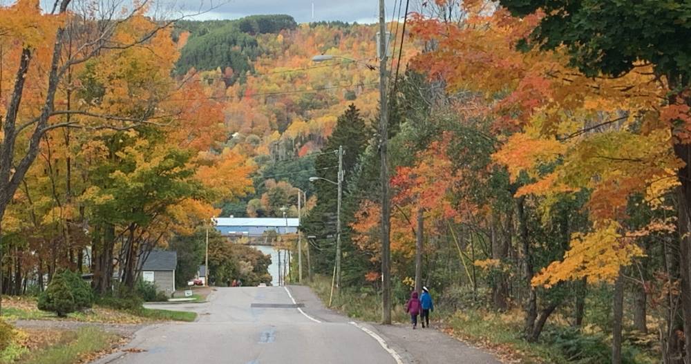
Geospatial analysis examined how variables, such as steep streets, sidewalk conditions, and traffic, impact active school route choices.
CHALLENGE
In Houghton, only 3-5% of K-8th graders walk or bike to and from school, which is ~10% lower than the national average. What can a community do to enable and encourage more students to engage in active transport modes to and from school?
SOLUTION
Identify and map the barriers and facilitators through parent and student surveys, walking audits, community meetings, and public participatory mapping exercises. Analysis and results were used to support a 2019 SRTS grant proposal.
FACILITY SUPPORT
STAFF EXPERTISE
- Web-hosted data collection applications
- Database structure and data collection design
- GPS-enabled GIS field tablets
- Web maps, apps, and website development
- Enterprise GIS servers and portals
- Geospatial & statistical analysis
- High-performance GIS computer labs
- Post-processing production and cartography
WALKING AUDIT MAP SAMPLE

