Michigan Technological University’s online GIS certificate programs are designed for professionals and graduate students who want to harness the power of geospatial technology to solve today’s most pressing environmental challenges. Whether you're working in forestry, conservation, land use planning, or environmental compliance, our certificates equip you with the applied skills to turn geospatial data into sustainable action.
Flexible, Accessible, and Fully Online
- 100% online and asynchronous—study on your time
- No GRE required
- Complete a certificate in as little as one semester
- Apply credits toward an MGIS or graduate degree
- Join a community committed to sustainability and impact
- Advance your career
Why Choose a GIS Certificate at Michigan Tech?
Designed For Impact
- Purpose-Built for Natural Resource Professionals: Unlike generic GIS programs, our certificates are rooted in natural systems and tailored for use in forestry, climate adaptation, habitat monitoring, wildfire management, water resource planning, and more.
- Developed by Experts, Informed by Industry: Created by seasoned GIS researchers and practitioners, these programs reflect real-world challenges and priorities. Many courses were developed with direct input from government agencies and private-sector partners.
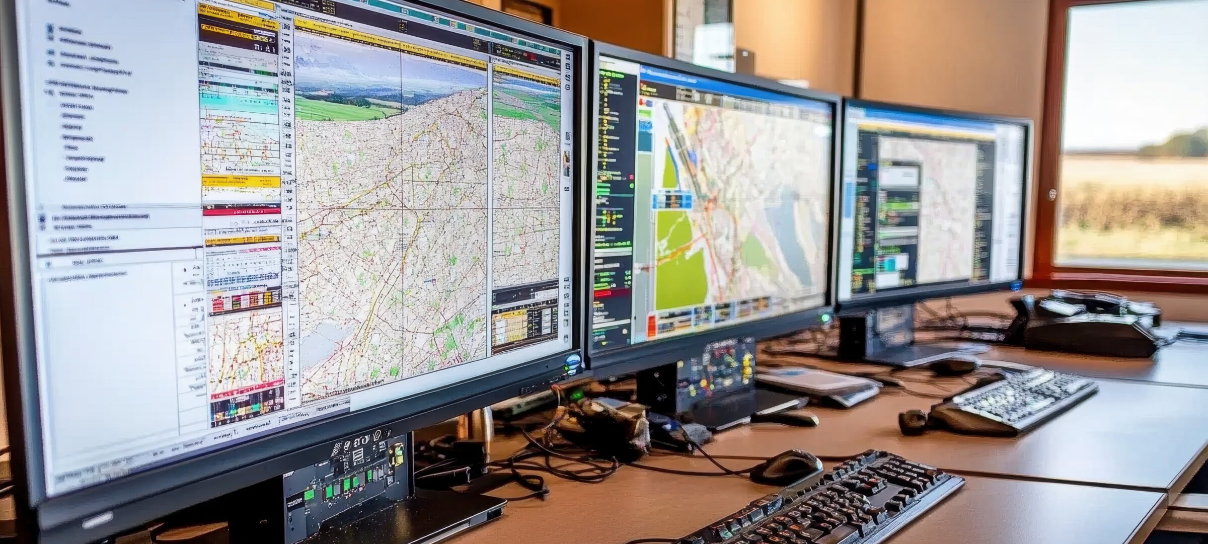
- Hands-On Learning, Online Convenience: Get practical experience using tools like ArcGIS Pro, Trimble GPS, ArcGIS Online, FieldMaps, Survey123, QuickCapture, StoryMaps, and Python programming—entirely online and on your schedule.
Expanded Job Opportunities
Completing a GIS certificate from Michigan Tech opens doors to a wide array of opportunities. Graduates are prepared for or may advance into roles such as:
- GIS Analyst / Technician / Specialist
- Remote Sensing Analyst
- Environmental Consultant
- Natural Resources Manager
- Urban and Regional Planner
- Wildfire and Disaster Response Analyst
- Drone Pilot/Mapping Specialist
- Geospatial Data Manager/Librarian
Preparation For Advanced Study
These credentials also serve as a springboard to advanced study. Since the certificates are stackable, they can count toward a Master of Geographic Information Science (MGIS) and open up doors for a PhD degree program. For industry professionals, the program offers immediate career value by boosting GIS fluency and adding credentials in tools like ArcGIS Pro, Python programming, FieldMaps, Survey123, QuickCapture, QGIS, and ArcGIS Online.
Connect With Applied Research
As part of Michigan Tech’s College of Forest Resources and Environmental Science (CFRES), certificate students benefit from a learning environment deeply connected to applied research. Faculty are engaged in impactful projects in wetland mapping, drone remote sensing, hydrology, and climate resilience. Students may also gain exposure to collaborative research and service learning opportunities aligned with ongoing faculty work.
GIS in Natural Resources Certificates
GIS Program Director

Parth Bhatt
- Associate Teaching Professor/Researcher
- Program Director, Online Master's of GIS
- Lead GIS & Remote Sensing Educator, MichiganView
- ppbhatt@mtu.edu
- 906-487-2291
- Noblet Building 189-190