Geospatial engineering combines principles of engineering, geography, and surveying to collect, analyze, and manage spatial information. With advancing technologies and tools, geospatial engineering at Michigan Tech brings computational methodologies to the great outdoors.
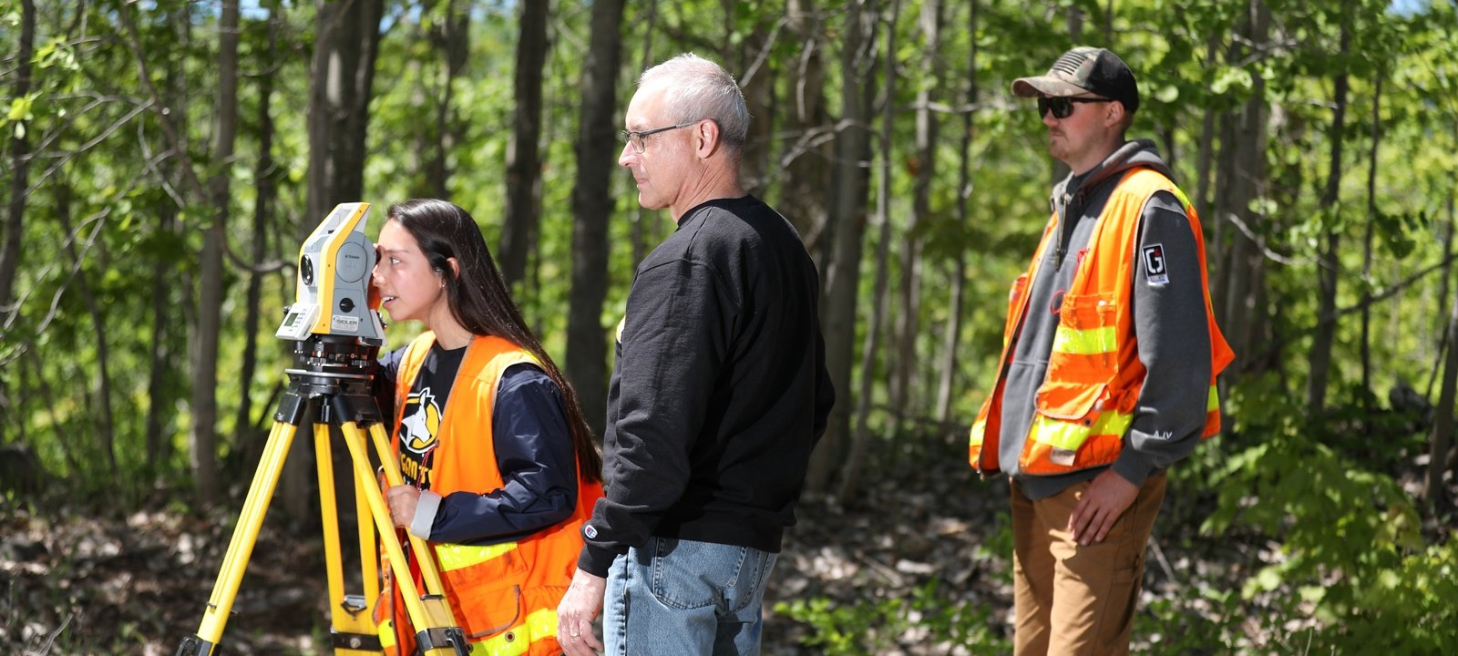
A bachelor’s degree in geospatial engineering from Michigan Tech prepares you to study, measure, and visualize the physical features of the Earth with great precision and accuracy. Geospatial engineers are surveyors, calculating the position, elevation, and property parcels of land. Become familiar with high-precision optical and electromechanical instruments. Learn to use satellite and aerial remote Earth observation systems. Use aerial and terrestrial lidar, as well as global navigation satellite systems (GNSS), unmanned aerial systems (UAS), and geographic information systems (GIS).
Request Information
Form loading . . .
Working with Michigan Tech's industry-leading faculty, prepare for the state professional surveyor’s exams using real tools in real environments. Work with cutting-edge software to develop digital maps and visualize geospatial data. Gain hands-on experience by surveying the forests, lakes, rivers, and mines surrounding Michigan Tech’s campus.
Gain professional experience in professional organizations such as the National Society of Professional Surveyors. Expand your expertise with minors in construction management or municipal engineering. Find the right academic and career path for you with the help of our dedicated advisors.
What Will I Study?
Build on a foundation of mathematics, geography, and engineering principles. Develop hands-on expertise working on real land surveying projects. Before you graduate, put your geospatial engineering skills to the test in either an industry-sponsored Senior Design capstone project or collaborative Enterprise team. Specialize your geospatial engineering degree with advanced coursework in the following areas:
- Geospatial Data Mining
- Hydrographic Mapping and Surveying
- Introduction to Remote Sensing
- Photogrammetry and UAV Mapping
- 3D Surveying and Modeling
- Geospatial Monitoring
Tomorrow Needs Geospatial Engineers
Many different industries need the expertise of geospatial engineers. You can work with architectural and engineering firms. Collaborate with government and real estate agencies. Share a project with mining companies. Industries also rely on the geospatial data and products that geospatial engineers provide. The need is increasing with advances in technology.
Enterprise
Participate in the Enterprise Program to set you apart and prepare your career. Choose from almost 30 Enterprise teams on campus to invent products, provide services, and pioneer solutions. All Enterprise teams are open to all majors, including geospatial engineering-focused teams such as Built World Enterprise, Green Campus, or SENSE. Tackle real-world design projects for industry sponsors or take part in a national competition (or both).
Add Enterprise to your degree by participating in the program, adding the Enterprise minor or replacing the senior design experience with Enterprise project courses. The minor includes courses in business and entrepreneurship.
Be Career Ready
With a 100 percent job placement rate for graduates, you'll be ready to engineer a better tomorrow. Learn field practice, boundary law, and geospatial monitoring. Practice geoinformatics, GPS, GIS, and photogrammetry. Use geodesy, spatial data adjustments, remote sensing, and hydrographic surveying. Tomorrow needs geospatial engineers who can measure, model, and perform. Be agile on the job from day one. We're ready. Are you?
Explore Career Opportunities for Geospatial Engineers:
- Professional Surveyor
- Geographic Information Systems Professional (GISP)
- Photogrammetrist (CP)
- Surveying Engineer
- Geospatial Engineer
What is Geospatial Engineering?
Geospatial engineering is a field that combines principles of engineering, geography, and surveying to collect, analyze, and manage spatial data.
It involves the use of various technologies, such as geographic information systems (GIS), global positioning systems (GPS), remote sensing, and computer-aided design (CAD) to capture, store, manipulate, analyze, and visualize geographic information.
Geospatial engineers work on projects related to land surveying, mapping, urban planning, environmental assessment, infrastructure development, disaster management, and natural resource management. They use their expertise to create accurate maps, models, and databases that help in decision-making processes for various industries, including transportation, agriculture, telecommunications, and urban development.
Geospatial engineering plays a crucial role in understanding and managing the spatial aspects of our world, enabling better planning, resource allocation, and problem-solving.
Common applications include mapping and measuring various aspects of the Earth.

Jacob Wysko on Geospatial Imagery"Ever since I was young, I’ve always had a keen interest in mapmaking and cartography. I liked to make detailed maps of the house and property that I grew up in. Finding out that there is a degree and career based around making detailed and accurate surveys really sparked my interest."