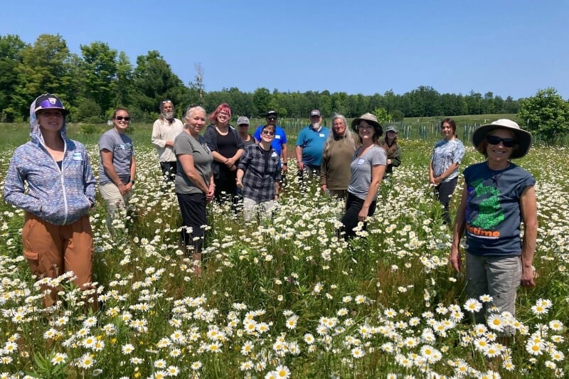
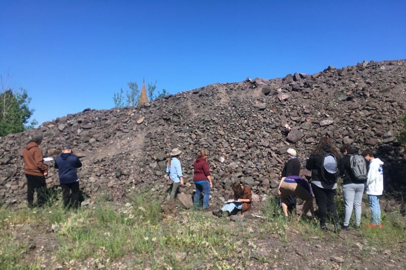
Our Acknowledgement of/for Land and Life

We first acknowledge that Nayaano-nibiimaang Gichigamiin (“The Five Freshwater Seas,” the Laurentian Great Lakes) bioregion is the ancestral, traditional, and contemporary lands and waters of numerous Indigenous nations, including the Anishinaabeg— the Three Fires Confederacy of Ojibwe, Odawa, and Potawatomi peoples. We acknowledge Indigenous peoples as the region’s original caretakers and knowledge keepers, and we recognize their centuries-long relationships as the foundation for governance of the world’s largest system of freshwater that continues into the present day. We acknowledge the more-than-human worlds who call this region home, and have done so since time immemorial. 

Our research study region within the tribal landscape system is located within Ojibwe Gichigami (“Ojibwa’s Great Sea,” Lake Superior) homelands and ceded-territory. The Ojibwa territory was established by the TREATY OF 1842, and includes the L’Anse Indian Reservation established by the TREATY OF 1854. Treaties are decreed to be the Supreme Law of the Land in the United States Constitution (Article VI, Clause 2: Supremacy Clause). As such, this means we share rights and responsibilities of the lands and waters with Ojibwa nations in Gakiiwe’onaning (Keweenaw Bay), Gete-gitgaaning (Lac Vieux Desert), Mashkii-ziibing (Bad River), Odaawaa-zaaga’iganing (Lac Courte Oreilles), Waaswaaganing (Lac Du Flambeau), Miskwaabikong (Red Cliff), Wezaawaagami-ziibiing (St. Croix), Zaka’aaganing (Sokaogon Mole Lake), Nagaajiwanaag (Fond du Lac), Misi-zaaga’iganiing (Mille Lacs), and Gaa-mitaawangaagamaag-ininiwag (Sandy Lake). 

As project partners, we extend gratitude to the Keweenaw Bay Indian Community and the Great Lakes Indian Fish and Wildlife Commission for their commitment and guidance to research in this region. University and Indigenous community partnerships are critical to bridging diverse knowledge systems, sharing expertise in equitable and ethical ways, and restoring relationships within Nayaano-nibiimaang Gichigamiin. As researchers, we remember that the teachings and practices we live today were created and shared by the generations who came before us, including our human ancestors and many relatives with fins, wings, legs, and roots. Finally, the work we do today is conducted with thought and care for future generations in/of the Ojibwe Gichigami landscape. 

"The communal love of place creates a different world of action."Robin Wall Kimmerer
Overhead view of segments of ice on Keweenaw Bay.

Ice on Keweenaw Bay 

(Photo Credit: Sarah Atkinson)

Dark and moody Lake Superior.

Lake Superior shoreline

(Photo Credit: Steve Brimm)

NASA satellite view of the Keweenaw.

NASA image of the Keweenaw Peninsula 

Point Abbaye rock overlooking the water.

Pointe Abbaye Peninsula

(Photo Credit: Valoree Gagnon) 

Three people standing around a steaming pot.

Sugar bush 

(Photo Credit: Valoree Gagnon) 

Many fish under the water.

Brook trout release 

(Photo Credit: Valoree Gagnon) 

About Our Project

This project brings natural and social sciences researchers together with tribal community partners in the Upper Peninsula (U.P.) of Michigan to better understand toxic contamination and climate-related changes across the water-rich landscape. The team will map the extent of the region’s mercury and PCBs contamination in inland lakes, and concurrently, map tribal harvesting practices, valued resources, and climate-related changes across the landscape to categorize lakes as low, moderate or high risk. This research also aims to explore specific management and outreach decisions to minimize contamination risk and support human-environment relationships that promote the health and wellbeing of the U.P. environment and its communities. 


National Science Foundation NSF logo

Great Lakes indian Fish & Wildlife Commission logo.

Michigan Tech's Great Lakes Research Center logo.

Keweenaw Bay Indian Community logo.