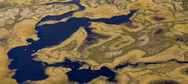
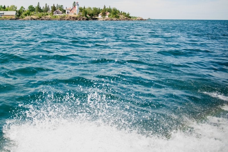
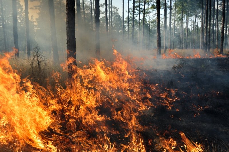
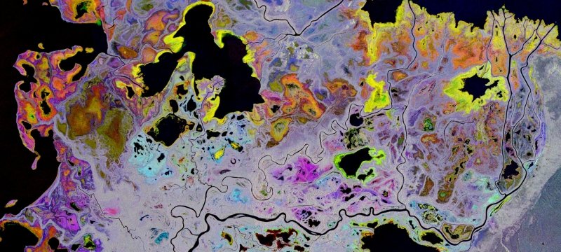
MTRI's multiple research projects related to the natural environment include wetland detection and assessment; carbon cycle science; water quality and characterization; fire science and management; farming practices; and climate change. These projects use airborne, uninhabited airborne systems (UAS), and satellite-collected imagery to analyze study areas as well as in situ measurements using standard and advanced field data collection methods. The types of remote sensing data used ranges from multi-spectral imagery in the visible part and near infrared of the light spectrum (Landsat, Sentinel-2, MODIS, and ASTER) to Synthetic Aperture RADAR (Radarsat, Sentinel-1, JERS, and PALSAR), as well as mid-wave and thermal infrared (Landsat, VIIRS, MODIS, and GOES).