Advance Your GI Science Knowledge With Remote Sensing Skills.
Mountainous terrain, dense forests and tropical rain forests, swamps and wetlands, and coastal groves and mangroves. These are some examples of difficult terrain that make traditional field-based methods and data-collection techniques impractical, costly, or even dangerous. When it comes to these areas, then, remote sensing not only provides safety and cost-efficiency, but also allows for consistent, repeatable, and broad-scale environmental monitoring.
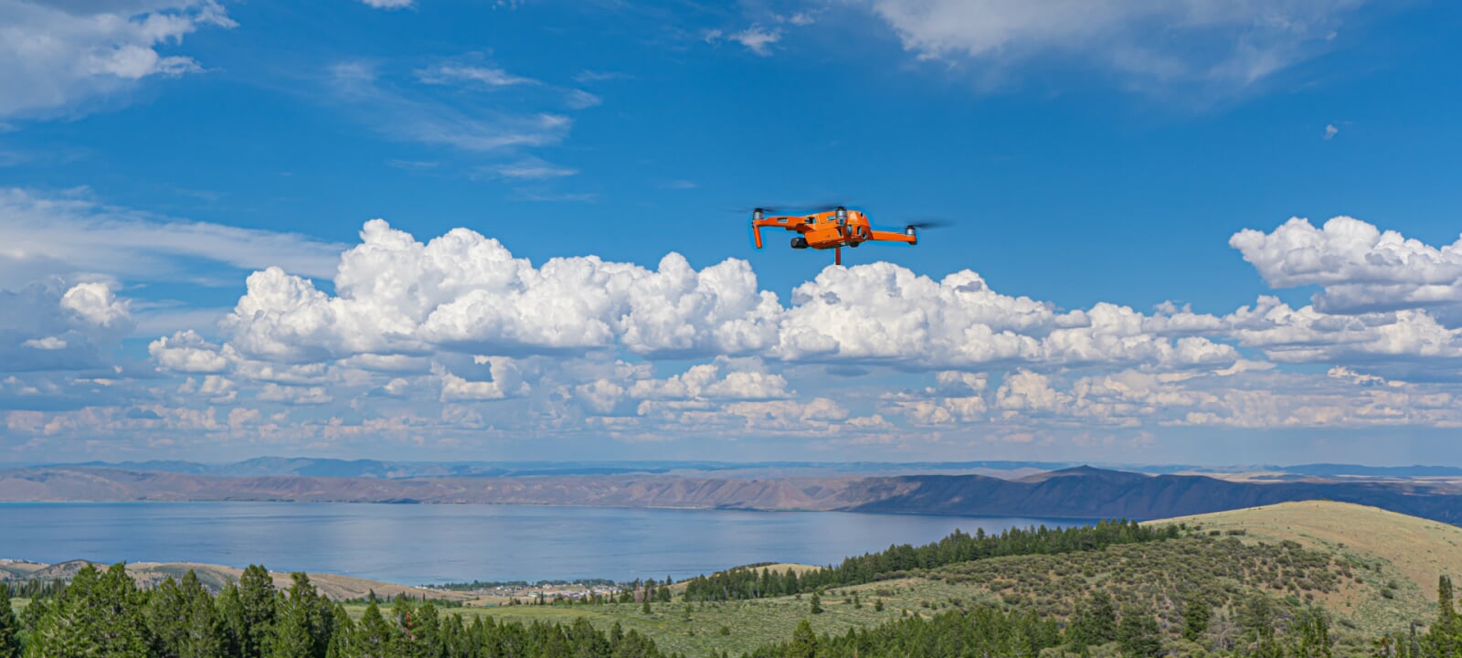
Remote sensing, in environmental science, is the process of collecting information from the Earth's surface and atmosphere without making physical contact. This data is typically collected by satellites, aircraft, drones, and (both passive and active) sensors. GI Science professionals often combine remotely sensed data with ground-based research to provide timely, accurate, and spatially extensive information that allows them to plan, predict, model, and make decisions.
In Natural Resources, for instance, remote sensing might be used in forestry and vegetation management, which includes forest cover mapping, biomass and carbon stock estimation, and wildfire and damage assessment.
In short, remote sensing techniques and tools are crucial to Geographic Information Science, especially to managing the complex and ever-changing challenges of Natural Resource Management.
What Courses Will You Take?
This certificate, which is only 9 credits, is flexible enough to fit around the demands of your life, your job, and your other responsibilities. You will study and apply remote sensing principles and concepts, diving into such topics as camera and digital sensor arrays, types of imagery, digital data structures, spectral reflectance curves, applications, and introductory digital image processing.
You'll also apply introductory remote sensing analysis using industry standard software for digital image processing while learning the theory behind these processes. In short, you'll be equipped with a remote-sensing toolkit that you can immediately apply on your current job.
To learn these processes and theories, all students will take the same four courses, which include a seminar and a hands-on lab.
Required Courses
Why Study Remote Sensing for Natural Resources at MTU?
Choose Your Educational Path.
Earn the certificate to accelerate in and gain valuable skills for your current career.
You can also stack this certificate with Foundations of GI Science and Advanced GI Science to build your Online MS in GI Science degree.
Learn from Subject Matter Experts.
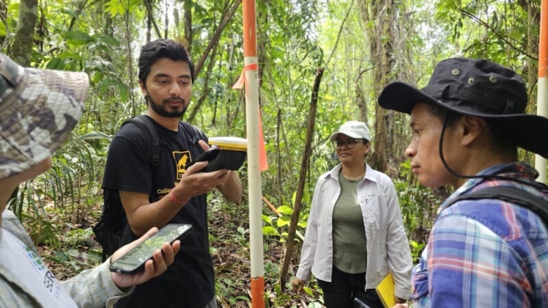
This certificate and the proposed MGIS Online degree have been developed with the input from both GI Science analysts and industry experts. In addition, the online courses have been developed and are taught by Dr. Parth Bhatt, Assistant Teaching / Research Professor. Bhatt has rich experience with using GI Science and remote sensing techniques to both analyze and solve problems in natural resource management, invasive species mapping, and forest health. For instance, he has regularly traveled to Suriname to teach drone workshops, which help locals manage, monitor, and maintain the health of their country's rich tropical forests and delicate ecosystem.
Join a Department With a Rich Tradition in Forestry.
This online program has evolved from the College of Forest Resources and Environmental Science, which has long worked in and conducted research with GI Science. You'll be part of a college that is known and respected for offering top-tier education for next-generation forestry and natural resource challenges.
"Remote sensing has revolutionized forestry by providing consistent, repeatable, and large-scale observations of forest systems, which were previously impossible to achieve."
What are Some Remote Sensing Careers?
In general, professionals with remote sensing experience work in various sectors, including government agencies (US Forest Service, Natural Resources Canada), international organizations, non-profits, consulting firms, and private industry (forestry companies, satellite data providers).
Although jobs and job titles vary according to workplace, below is a list of some of the most common roles in natural resources, forestry, and conservation, as well as occupations that cut across fields.
Forestry and Forest Management
- Remote Sensing Specialist (Forestry)
- Forest Inventory Analyst
- Silviculture Forester
- Forest Health Specialist
- Wildfire Analyst
- Forest Resource Planner
- Geospatial Analyst (Forestry)
Remote Sensing and Geospatial Professions
- Remote Sensing Specialist
- GIS and Remote Sensing Specialist
- Geospatial Intelligence Analyst
- Imagery Analyst (Environmental Applications)
Natural Resource Management
- Natural Resource Analyst
- Environmental Remote Sensing Analyst
- Resource Monitoring Specialist
- Ecological Modeler
- Watershed or Land Use Planner
- Rangeland Management Specialist
- Biodiversity and Habitat Analyst
Conservation and Environmental Monitoring
- Wildlife Habitat Analyst
- Conservation GIS Specialist
- Environmental Monitoring Officer
- Landscape Ecologist
Earn A Remote Sensing for Natural Resources Certificate.
Take the next steps on your online educational journey at Michigan Tech. We are here to answer your questions and to help you succeed in your online program.