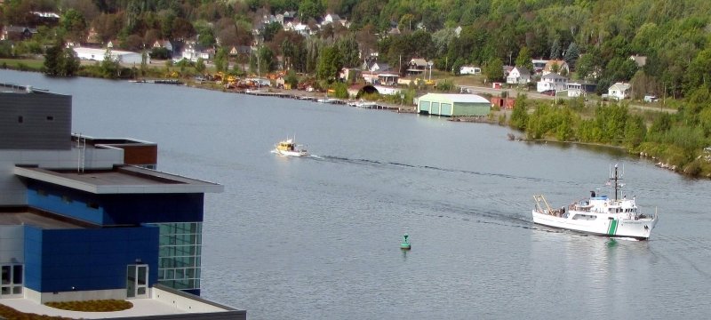
Aerial view of the Dow Building and the GLRC by Portage Canal.

As a master's student in integrated geospatial technology, you will discover the power of place.
You will gain in-depth, hands-on knowledge of remote-sensing technologies, which harvest terabytes of data, and the software that makes sense of all that raw information. Career prospects are excellent, and the US Bureau of Labor Statistics has identified geospatial technology as a high-growth industry.

Learn More
Learn More and Apply
Compare MS Options
Kevin Takala, Student

When deciding on a major, I looked into career paths that would enable me to not only find a job in the United States, but also create opportunities for me world-wide. This led me to a degree in Geospatial Technology at Michigan Tech.

My courses and experience at Michigan Tech and in the Geospatial Technology program have prepared me with a diverse background.

Kevin Takala accepting an award.

I found that working with others from different countries has challenged me to find new ways to solve complex problems involved in the daily tasks of the job. I have learned to think differently and come up with unique solutions in many situations taught in my courses ranging from Advanced Photogrammetry to Remote Sensing or GIS. Working with students and professors with different cultural backgrounds has given me strengths that I will be able to apply throughout my career.

Geospatial technology is a challenging field, but I enjoy having the ability to work with different data sets from project to project and seeing the end result. The professors and advisors in the Geospatial Technology program are knowledgeable about working in the field and fully prepare us to work in positions with private companies or governmental agencies.