Spring Break 2026 | All Majors Welcome
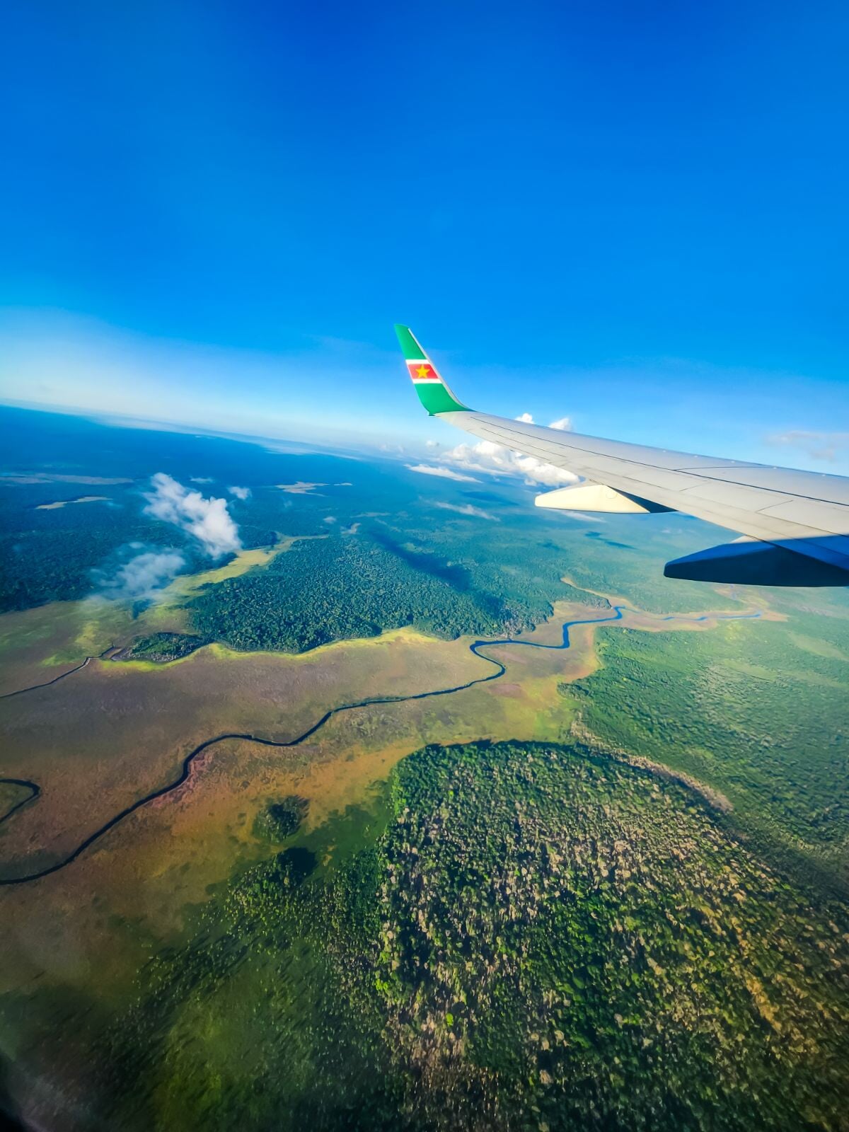
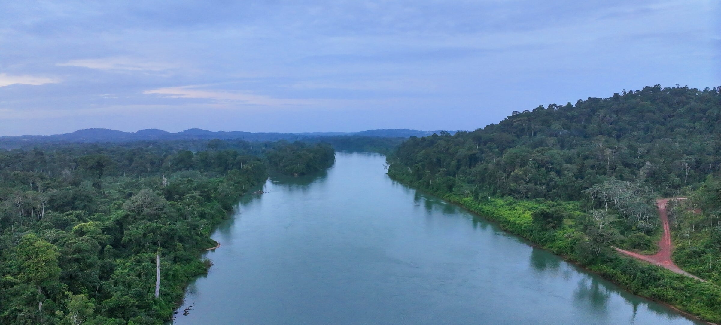
Tired of cold, gray skies? Spend your spring break in Suriname, a South American gem near the Amazon Basin where lush rainforests, winding rivers, and vibrant biodiversity set the stage for an unforgettable adventure. This immersive study away experience blends hands-on technical training with cultural and ecological discovery in the most forested country on Earth.
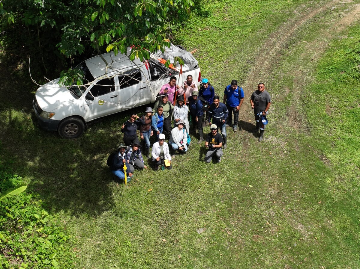
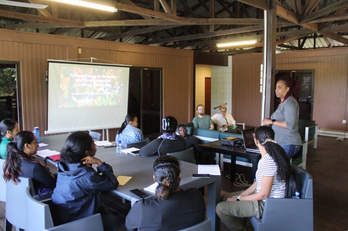
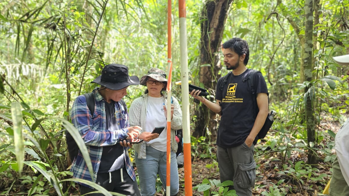
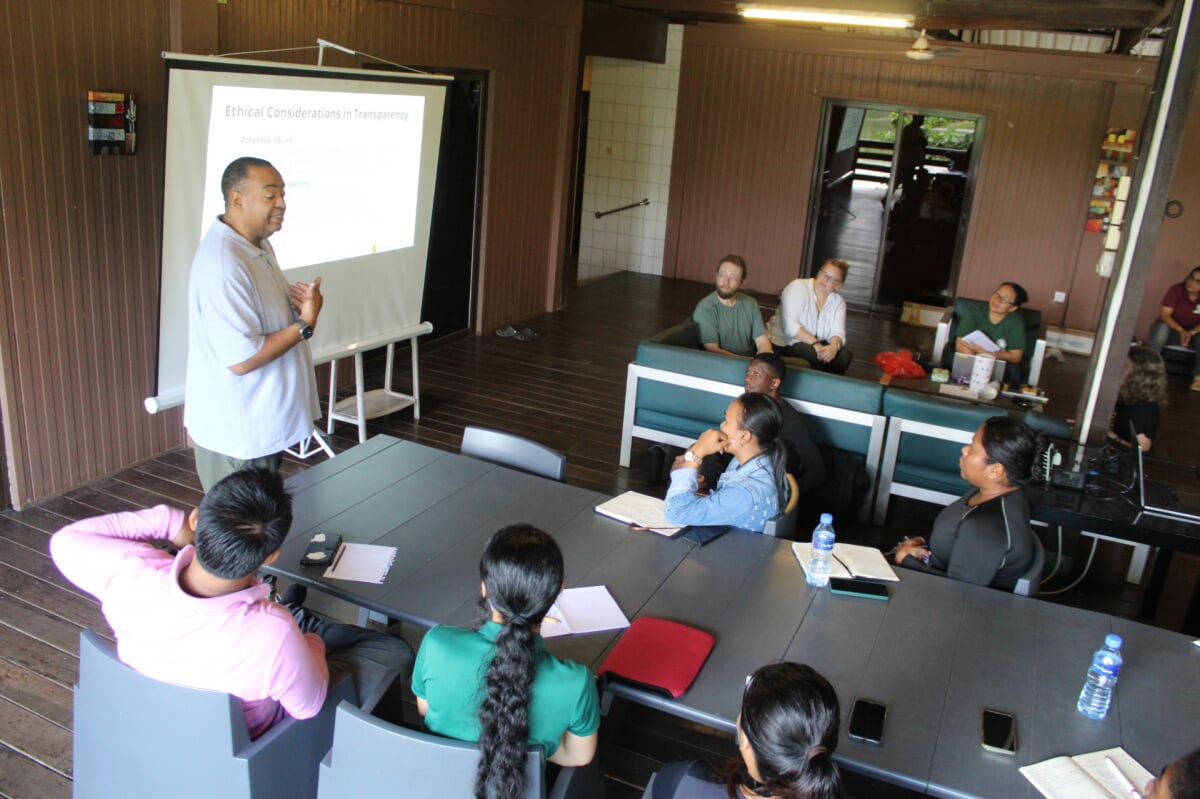
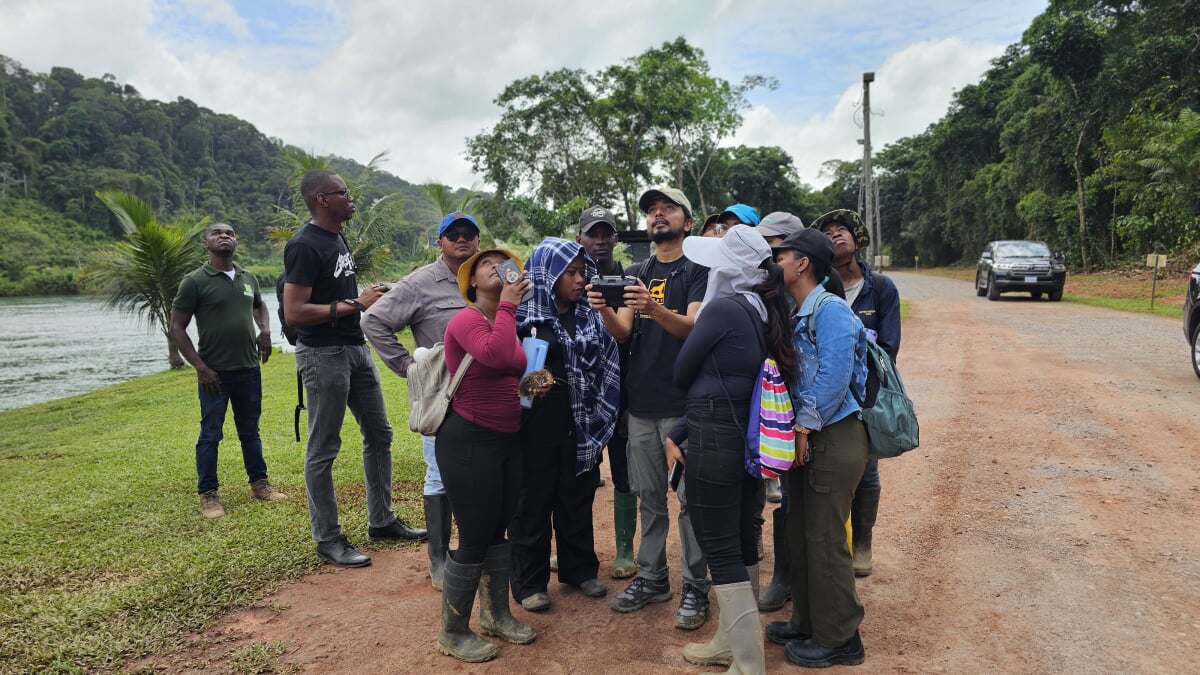
This is more than a trip; it's a chance to learn, connect, and grow in one of the world's most ecologically and culturally vibrant countries. You will engage directly with tropical ecosystems to study biodiversity, sustainable resource management, and the human-environment interactions shaping Suriname's landscapes. You'll gain cutting-edge skills by using DJI MAVIC 3M drones to map the health of coastal mangroves and learn to collect field data using mobile GIS apps like FieldMaps and Survey123. Plus, you'll take a canoe ride down the Suriname River to the coast (and maybe even spot pink river-bellied dolphins), and on your last day, you'll interact with local K-12 students.
Working alongside Surinamese peers, community leaders, and environmental specialists, you will co-develop projects that integrate science, culture, and community needs. No prior GIS or Remote Sensing experience is needed.
Overall Learning Objectives
Upon successful completion of this course, you will be able to:
- Identify ecological and cultural indicators of tropical biodiversity and sustainability.
- Develop observational and investigative skills to interpret Suriname's ecosystems and human-environment interactions.
- Examine how Suriname's ecological systems and cultural values intersect with economic development and environmental stewardship.
- Reflect and articulate an integrated perspective on tropical spatial ecology, sustainable resource management, and cross-cultural collaboration.
- Create a collaborative, community-based mapping or sustainability project from start to finish, integrating local knowledge and geospatial tools.
Key Details
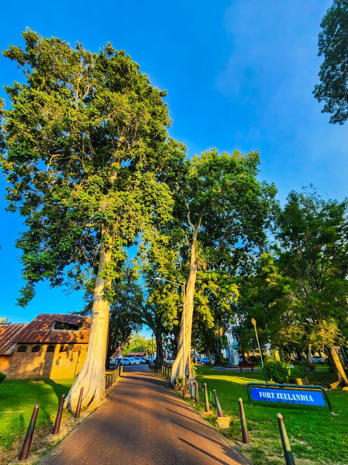
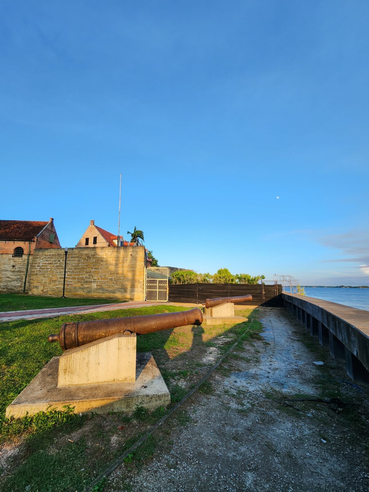
- Location: The program is based primarily near the capital city of Paramaribo, with excursions to other sites, including the Commewijne district.
- Program Duration: The travel dates for the program are February 28, 2026, to March 8, 2026.
- Application Deadline: November 14, 2025.
- Course Number and Credits: Students will earn 3 credits through UN3013, which satisfies the Essential Education Experience (E3) or HASS SBS requirement.
- Program Fee: $3700 - $4100, depending on enrollment. The program fee covers all transportation, including domestic and international flights and in-country transportation, lodging, and excursions while in Suriname, as well as most meals.