MTRI's many sensor platforms add key analysis from new vantage points to transportation research.
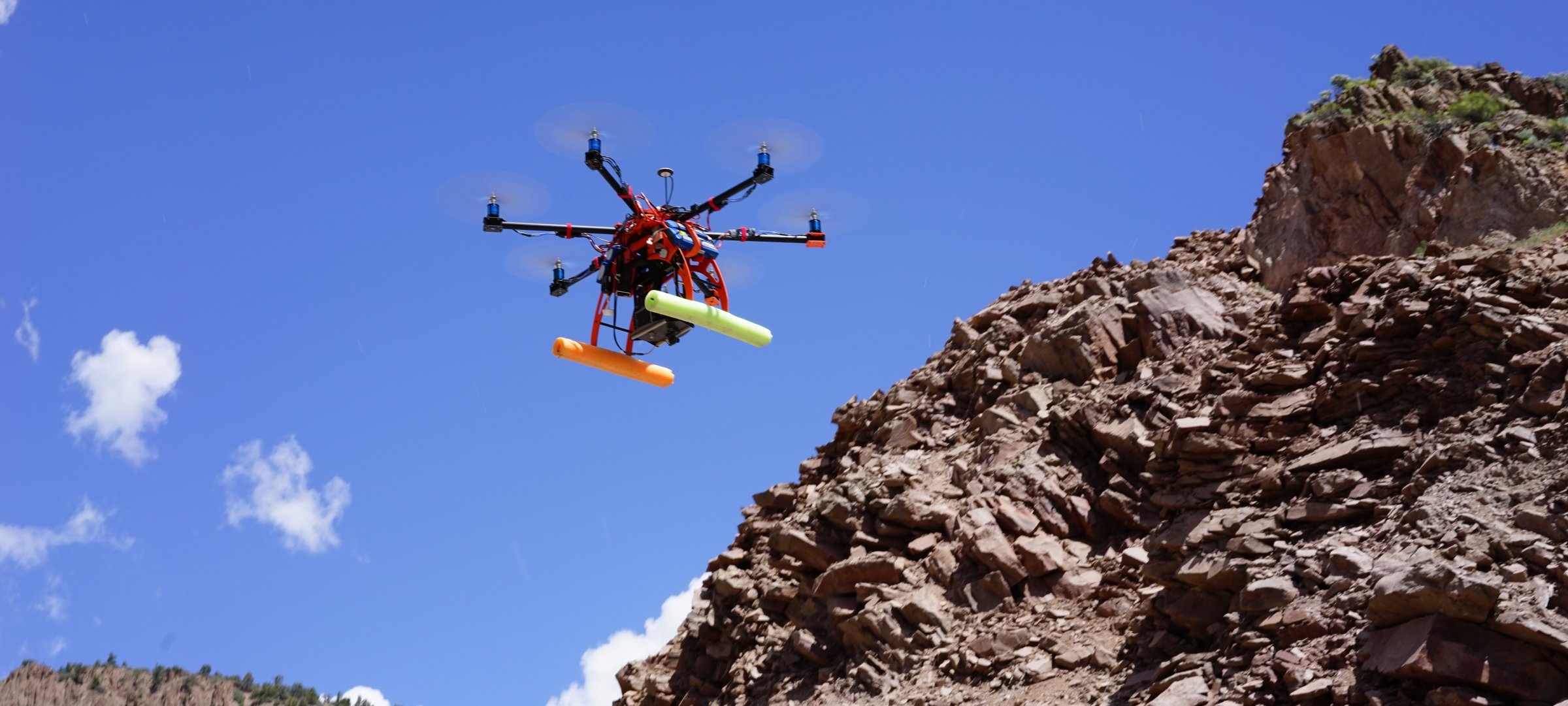
- View our aerial platforms (unmanned aerial vehicles)
- Check out the 3D Optical Bridge-evaluation System (3DOBS)
Our sensor technology includes a multitude of devices and applications. Find out more about our equipment and capabilities including:
- UAV-deployable high-resolution optical cameras and thermal imagers, Lidar, GSR, the Lightweight Portable Radiometer (LPR), and the Tetracam multispectral camera
- Pedestrian radar
- Benchmarking sensors
- ASD spectroradiometer
Projects

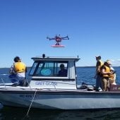
Benchmarking Sensors for Vehicle Computer Vision Systems
AAA National approached researchers from the Center for Automotive Research (CAR) and the Michigan Tech Research Institute of Michigan Technological University with a proposal request that centered on comparing the performance of Lidar, RADAR, and cameras for enabling automated driving functions.
Learn more about how CAR and MTRI put the proposal together.

Ground-Truth Data Collection for Autonomous Vehicle Development
Research focused on collecting measurements from a suite of sensors selected for an autonomous vehicle, along with ground truth data, to be used for the development and evaluation of algorithms.
Find out why this work is crucial to the future of transportation.
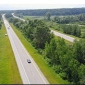
Evaluating the Use of Unmanned Aerial Vehicles for Transportation Purposes
Study objectives: to develop, test, and demonstrate how UAV technology can help provide visual inspections from above for a variety of structures and locations of interest to the Michigan Department of Transportation (MDOT).
Discover how we help make Michigan (and the nation's) roadways easier to assess and maintain.
UAV Deployed Sensors
MTRI deploys multiple sensors aboard its UAV fleet to collect critical project data, including optical cameras, thermal sensors, lidar, ground penetrating radar, lightweight portable radiometers, and a tetracam multispectral camera.
Dive into the work we do to help both the natural environment and the national economy.
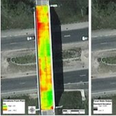
3-D Optical Bridge-Evaluation System (3DOBS)
3DOBS is an easily deployable bridge evaluation system (Figure 1) used for rapidly assessing surface condition indicators such as the area, volume, and location of deck spalls and scaling.