The GLRI Phragmites Decision Support Tool (DST) Mapper is now available. The DST Mapper provides resource managers with information to strategically develop effective Phragmites control and invasion prevention programs in the Great Lakes coastal zone.
Field Photos
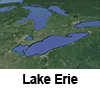
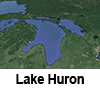
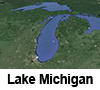
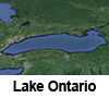
View the field photos in Google Earth. Click on the Great Lakes Regions below.
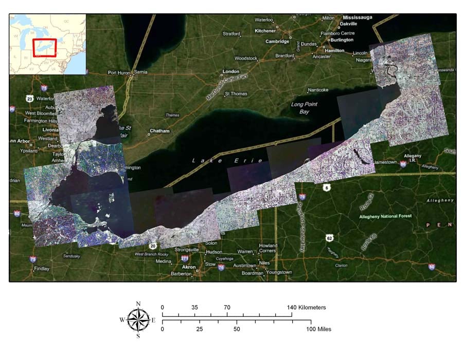
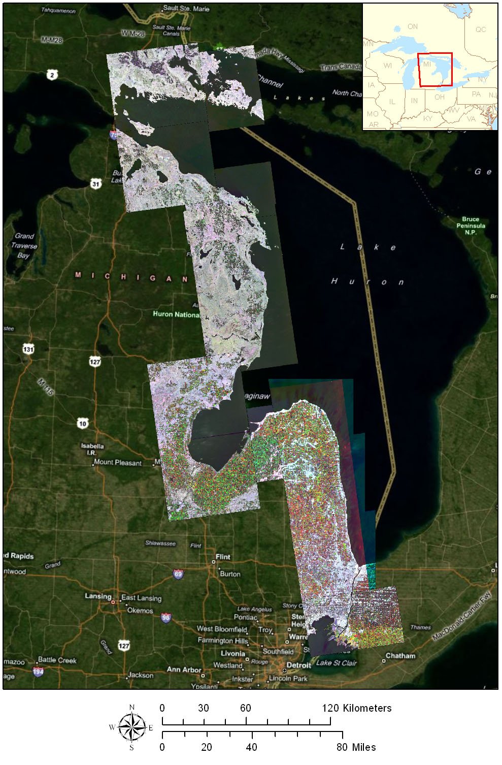
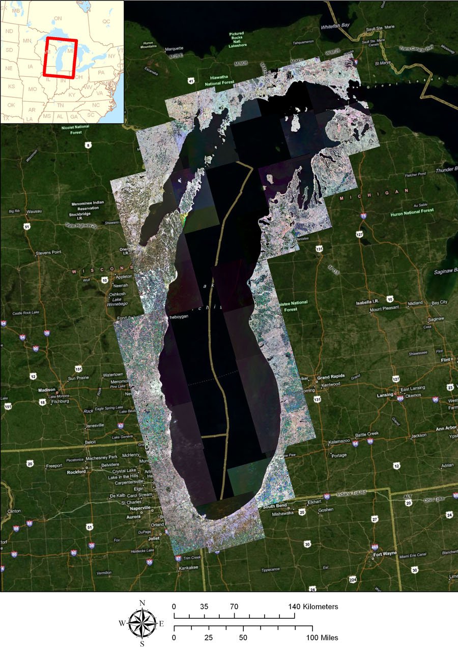
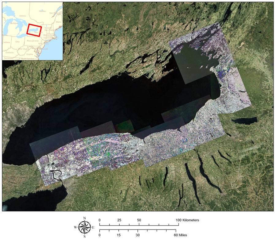
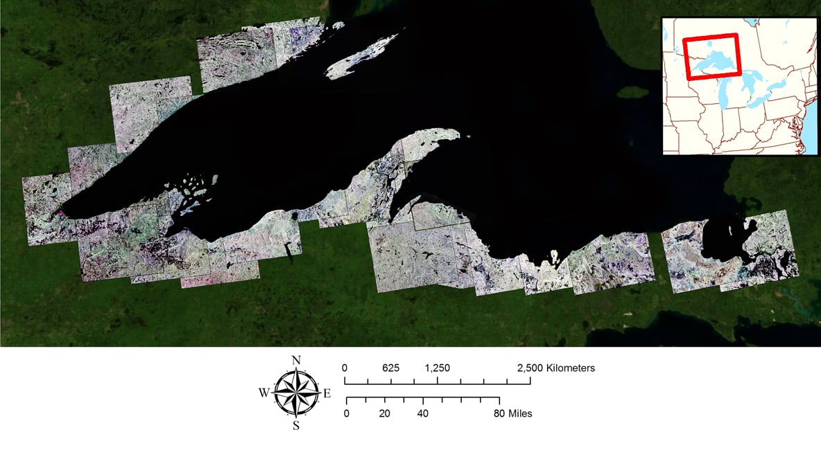
Seasonal Mosaic Images Great Lakes (summer, fall, spring)
You can see the current documented distribution of Phragmites australis on the GLRI Phragmites Decision Support Tool Mapper or view the locations in Google Earth.
USGS Data Portal
The project is funded through a cooperative agreement with USGS Great Lakes Science Center and US Fish and Wildlife Service National Wetlands Infrastructure as part of the Great Lakes Restoration Initiative (GLRI).
- USGS Data Portal for Phragmites Mapped in the Great Lakes Coastal Zone
- Instructions on how to use the data portal
![]()
![]()
![]()