
Upgrade Your Geospatial Toolkit With MTU's Online GIS Certificate.
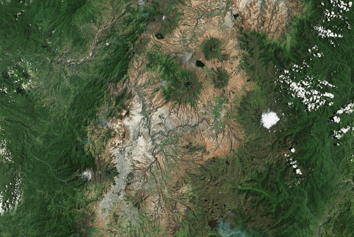
Geographic Information Science (GI Science) is an exciting, growing, multidisciplinary field that focuses on the study of geographic information, spatial data, as well as their applications. Combining principles from geography, computer science, mathematics, and various other disciplines, GI Science has the ambitious goal of understanding, analyzing, and modeling the spatial aspects of the world. Or to put it another way, GI Science transforms geospatial data into action, helping professionals make a meaningful impact on the world.
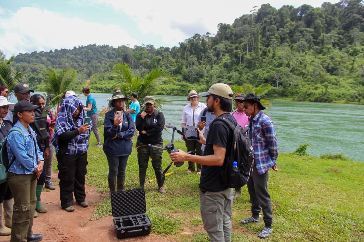
While pursuing this online advanced GIS certificate, you will apply industry-standard GIS software, including ArcGIS Pro, ArcGIS Online, and others, alongside advanced programming techniques like Python.
You will master sophisticated GIS concepts and methodologies, which are central to analyzing large and complex datasets, automating routine geospatial workflows, and effectively managing geodatabases. Furthermore, you will cultivate expertise in designing, executing, and communicating comprehensive geospatial projects. These GIS skills will empower you to address real-world challenges, deliver innovative solutions, and excel in professional and industry-level geospatial roles.
In short, open completion of this certificate, you will achieve advanced proficiency in generating, visualizing, processing, analyzing, and managing geospatial data.
Important Note: Unless they already have foundational skills, students should pursue this certificate only after completing Foundations in GI Science for Natural Resources.
What Advanced GIS Courses Will You Take?
This certificate is flexible enough to fit around the demands of your life, your job, and your other responsibilities.
All students will take the same three advanced GIS courses.
Required Courses
Why Earn Your Online GIS Certificate at Michigan Tech?
Choose Your Educational Path.
Take one course to accelerate in your current career or earn the entire certificate.
You can also stack this certificate with Foundations of GIS to advance towards your Online MS in GI Science.
Learn from Subject Matter Experts.
This certificate and the proposed MGIS Online degree have been developed with the input from GI Science analysts and industry experts. In addition, the online courses have been developed and are taught by Dr. Parth Bhatt, Assistant Teaching / Research Professor. Bhatt has rich experience with using GIS and remote sensing techniques to both analyze and solve problems in natural resource management, invasive species mapping, and forest health.
Join a Department With a Rich GIS Tradition.
This online program has evolved from the College of Forest Resources and Environmental Science, which has long worked in and conducted GIS research. You'll be joining a college that is known and respected for offering top-tier education for next-generation forestry and natural resource challenges.
What Are Some GIS Careers?
In general, GIS is a versatile skill set, used by global professionals in a number of workplaces, such as the following: natural resource management, government agencies, environmental and conservation organizations, urban and regional planning, real estate and property management, insurance industry, and the energy sector.
With an increasing societal emphasis on environmental sustainability, forest management, conservation, climate change, precision agriculture, and wildlife conservation, opportunities for GIS professionals continue to grow.
This program is strategically designed to offer specialized curriculum and projects aligning with current challenges.
Examples of GIS Jobs
- Cartographer
- Environmental Consultant/Planner
- Environmental GIS Consultant
- Environmental Project Manager
- Forest GIS Analyst
- GIS Analyst
- GIS Project Manager
- Land Use Planning GIS Specialist
- Natural Resource Manager
- Silviculture Mapping Technician
- Spatial Ecologist
- Wetlands Mapping Specialist
- Wildlife Biologist
Get Started Today on Your Online Advanced GIS Certificate.
Take the next steps on your online educational journey at Michigan Tech.
Reach out to our kind, dedicated admissions manager, Amanda Irwin. She has a decade of experience helping students evaluate programs, navigate the admissions process, and complete their applications. Email her at globalcampus@mtu.edu or submit the RFI form below.