
-
Programs Offered
- Certificate
-
Delivery Options
- On-Campus
- Accelerated
-
Credits
- 9 credits
-
Timeline
- One–three semesters
Turn Images Into Accurate Maps and 3D Models
How can photographs taken from a drone become a detailed map or three-dimensional model of a landscape? That's where photogrammetry comes in. Photogrammetry is the science and technology of extracting measurements and spatial information from photographs and other images. Using imagery captured by drones, aircraft, and satellites, photogrammetrists create accurate maps and 3D models used in surveying, engineering, environmental monitoring, and urban planning.
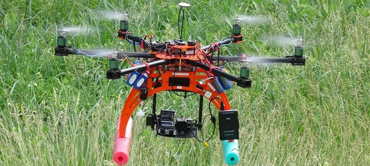
Michigan Tech's Advanced Photogrammetry and Mapping with UAS Graduate Certificate, offered online and on campus, combines geospatial science with hands-on applications. You'll develop specialized skills in digital photogrammetry, image processing, and unmanned aerial systems (UAS) mapping.
Who is This Certificate For?
This certificate is designed for surveying, mapping, and geospatial professionals who want to expand their knowledge of photogrammetry and UAS technologies. It's also relevant to professionals and graduate students in civil and environmental engineering, geographic information management, and related fields who want to develop specialized skills in spatial data collection and analysis.
What You Need to Know
In the graduate certificate Advanced Photogrammetry and Mapping with UAS program, you'll study digital photogrammetry, sensor technologies, calibration methods, and UAS flight planning. Coursework covers the processing and analysis of aerial and satellite imagery to produce accurate maps, two-dimensional representations, and 3D models. You'll also develop skills in photogrammetric modeling, simulation, and evaluating the accuracy of geospatial data.
Prepare for professional certifications that include ASPRS mapping scientists.
Admissions
To enroll in this certificate program, students must have a bachelor's degree or its equivalent from an accredited institution, and be prepared for advanced study in their chosen field, as demonstrated by their previous degree and scholastic record. See complete admissions requirements.
Accelerated Option
Michigan Tech Bachelor's + 1 Semester = Accelerated Graduate Certificate
Current Michigan Tech undergraduates or recent alumni, get started right away. Our accelerated graduate certificates are a fast, affordable way to add graduate credentials to your bachelor's degree in as little as one semester. Be more marketable in your industry or prepare for your master's degree. Explore accelerated certificate options.
Online Option
Accredited Courses, Convenience
Online learning at Michigan Tech provides greater flexibility and can fit around your busy schedule wherever you are. Upgrade or change your career path.
Prospective students can earn graduate certificate in Advanced Photogrammetry and Mapping with UAS fully online.
Credits
This graduate certificate requires a minimum of 9 total credits. Students may apply the credits earned for this certificate toward a graduate degree at Michigan Tech.