Remote Sensing of the Great Lakes
Learn about Michigan Tech's Large Lakes Remote Sensing program, including the research, education, facilities and outreach activities offered. This information can be used for science and management purposes. Support for this site comes from the National Science Foundation, the National Oceanic and Atmospheric Administration and Michigan Sea Grant. The views expressed here do not represent the views of Michigan Tech, NSF, NOAA or Michigan Sea Grant.
Keweenaw Geoheritage
Take the opportunity to learn about Earth Science, Natural History and Geoheritage of the Keweenaw Peninsula of Michigan: This website identifies hundreds of field geoeducation places in the Keweenaw and Isle Royale, with maps and information about geology. It is aimed at communicating the strong Geoheritage of the western UP, including the Keweenaw Peninsula and Isle Royale. We aim to reach any reader, and to help them understand: What is geoheritage? How does Earth Science guide us and influence our living and culture? What are the elements of geology here? What are the places that teach us the Earth history here? How does the Keweenaw window into Earth’s history contribute to our world view?
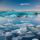
Great Lakes Ice Group
Take the opportunity to learn about ice volcanoes, thermal response of mid-lake ice, and lake ice terminology. See the ice evolution on the Great Lakes as it is monitored using both active and passive remote sensing.
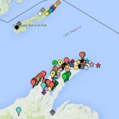
Keweenaw Field Trip
Find out more about local geology. The Keweenaw peninsula is the only district where native copper was the primary mineral mined throughout the life spans of the mines. The preserved geologic history consists of rocks from the Precambrian (1.1 billion years) and Pleistocene (2 million year) glacial deposits.
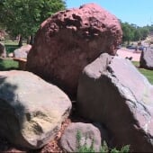
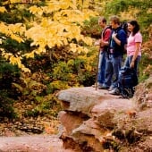
Keweenaw Boulder Garden
The use of the Boulder Garden is that it groups in one place excellent examples of a broad variety of rocks that represent dozens of different places which can be examined all at once. In addition, the rocks are large enough that they contain much more information than small pieces of rocks. In one two hour class session students can observe and analyze data that could only be done from many days of field work, if they were to examine the same diversity of rocks.