MTRI deploys multiple sensors aboard its fleet of unmanned autonomous vehicles (UAVs) to collect critical project data.
Optical Cameras
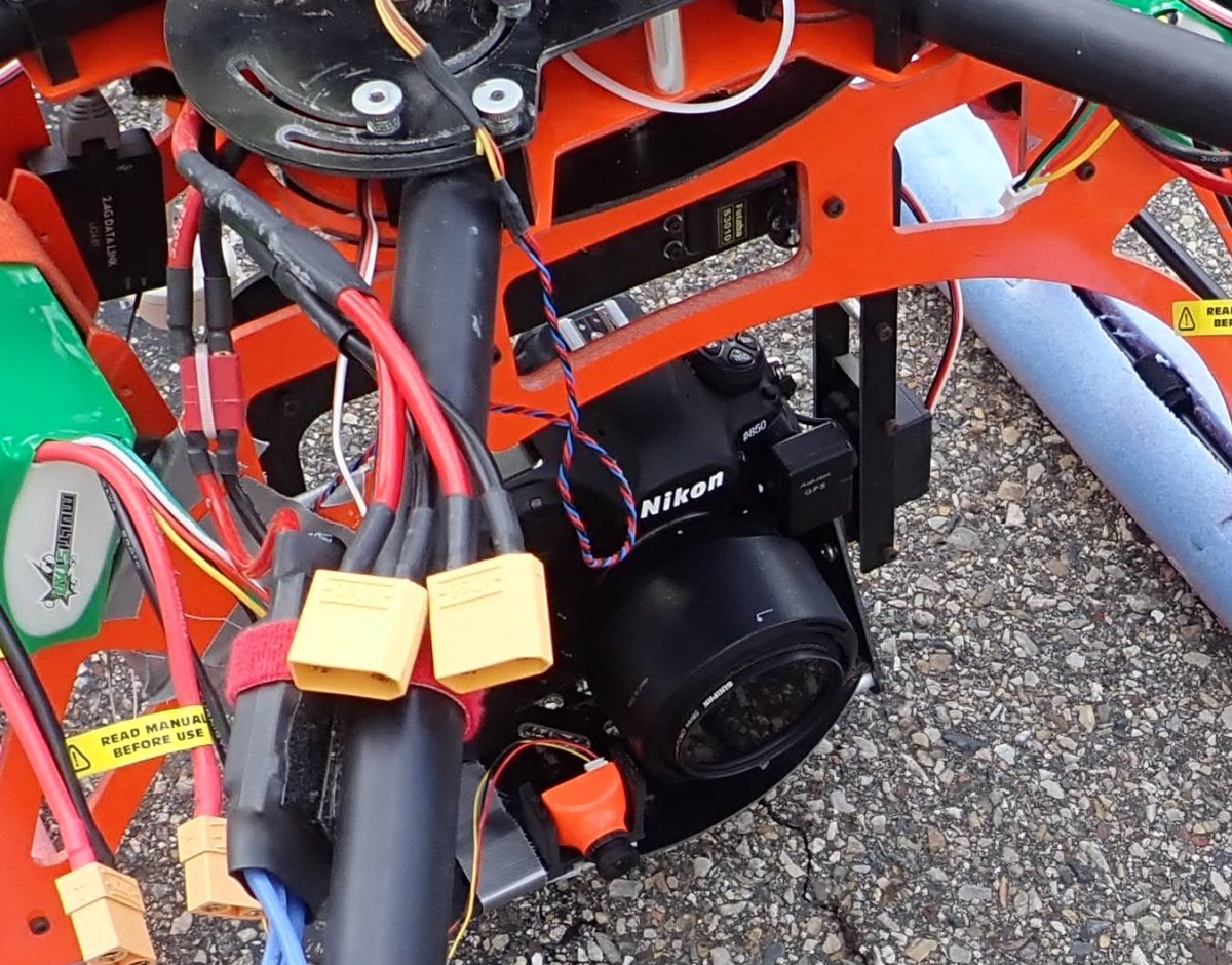
To enable high-resolution Structure-from-Motion photogrammetry, we currently focus
on the Nikon D800
series of cameras, including the 36 mp Nikon D800/D810 and the 45.7 mp Nikon D850,
most frequently
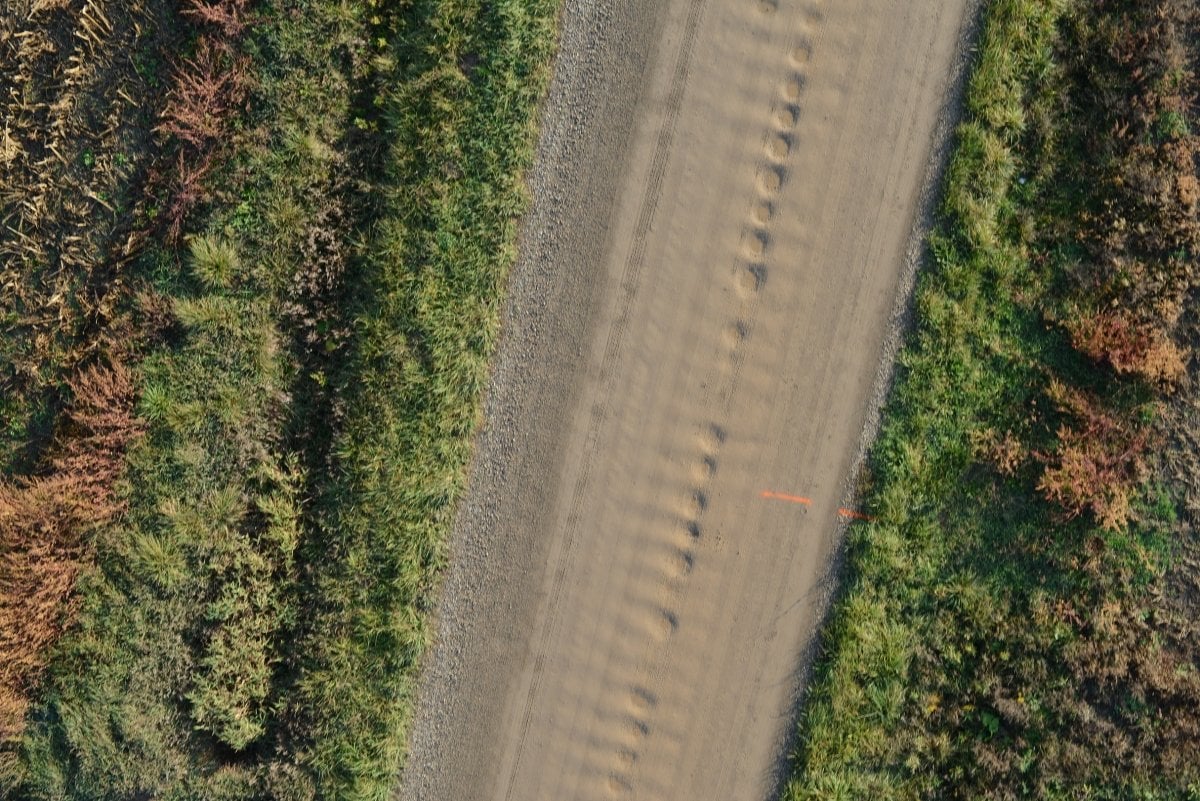
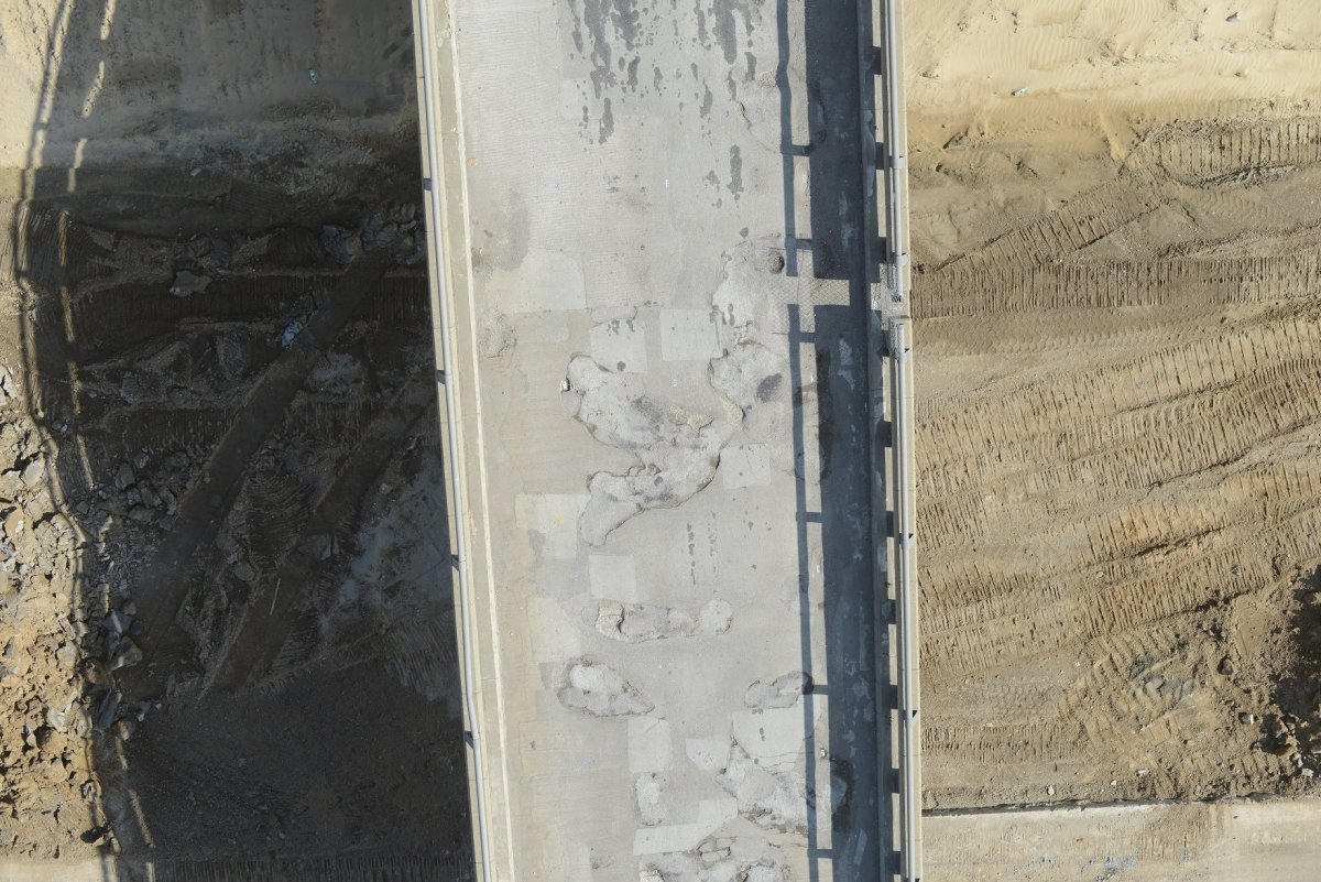
using a 50mm prime lens. From distances in the 25-30m range (80-100 feet), this enables
sub-cm 3D
sensing useful for high resolution assessment of transportation infrastructure such
as roads and bridges.
Other UAVs come with built-in cameras, such as the 20 mp onboard the latest Mavic
2 Pro small
quadcopter that includes 4K video capability.
Thermal Sensors
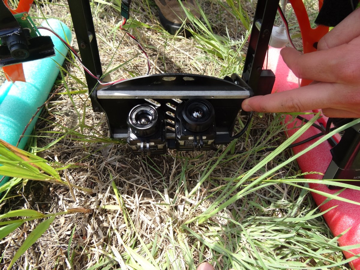
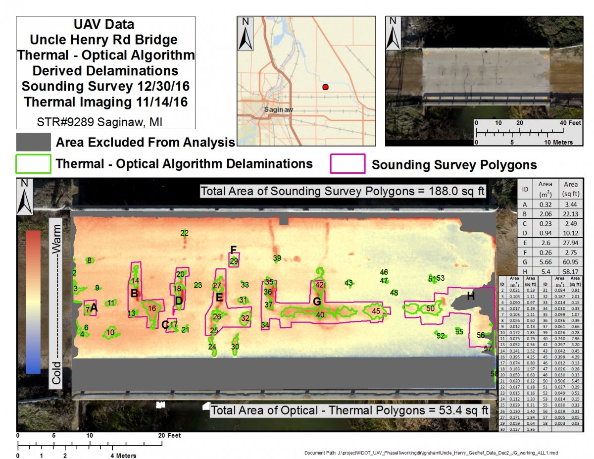
We have deployed several FLIR thermal sensors, including the Tau2, Vue Pro, Vue Pro R, and Duo Pro systems, primarily for finding subsurface delaminations in concrete bridge decks. Thermal anomalies can be indicative of where concrete has begun to delaminate, creating subsurface air gaps that warm up differentially and create an identifiable pattern on the bridge deck surface.
Lidar (Light Detection and Ranging) Sensor
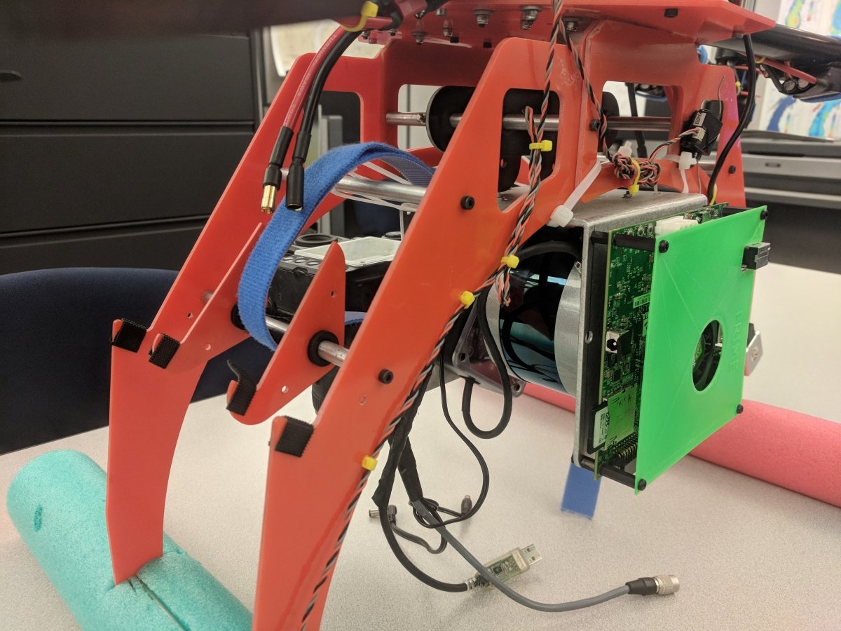
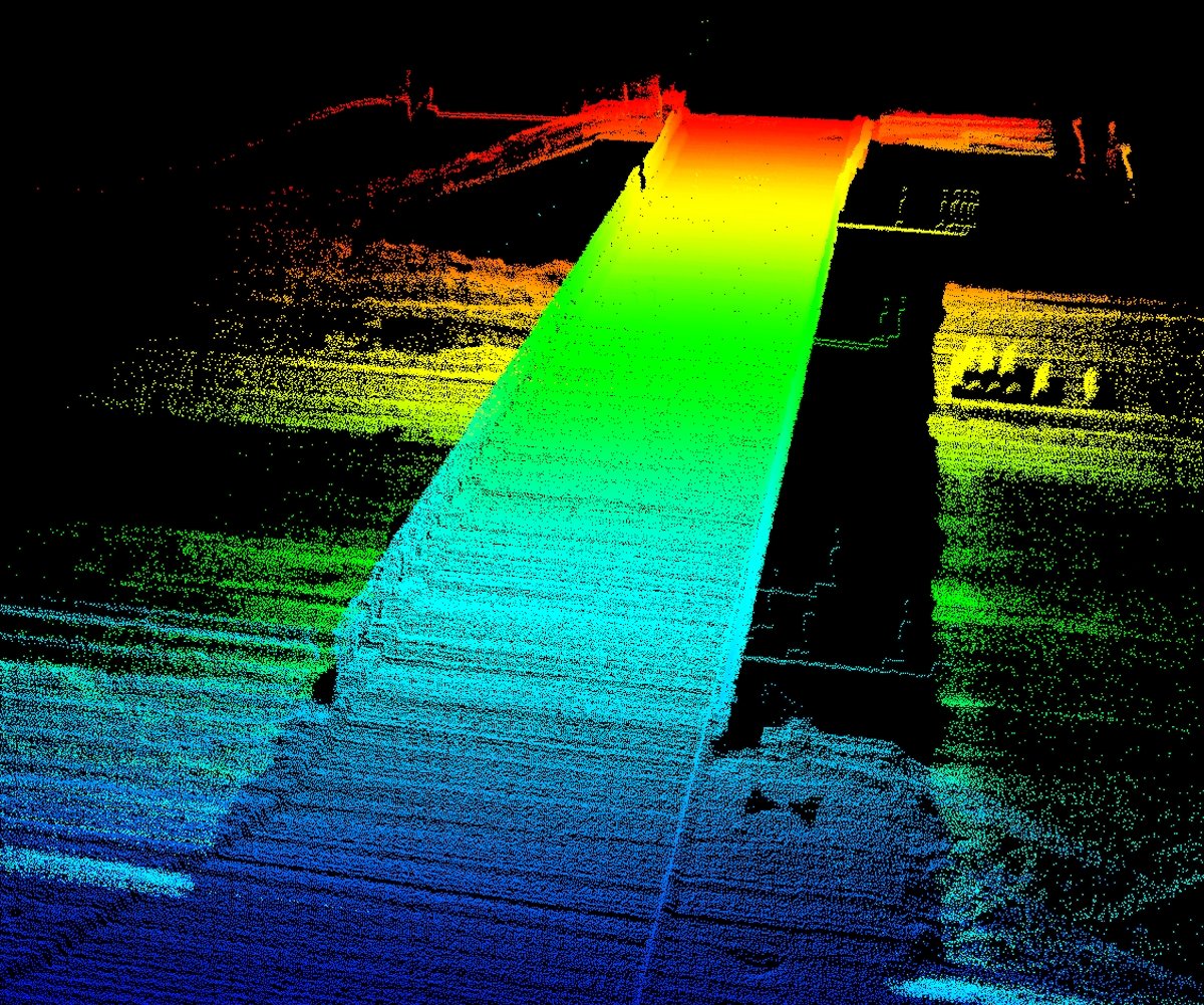
We have a customized lidar setup and mount able to deploy lidar sensors such as the VLP-16 system, creating 3D points clouds of bridges and ground surfaces. These can be used to find bridge spalling and ground features that would ordinarily be hard to identify.
Ground Penetrating Radar (GPR) Sensor and Antenna Configuration
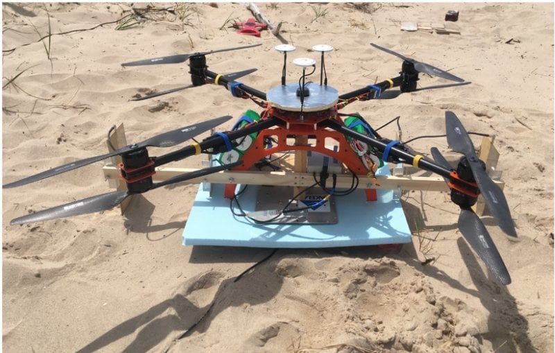
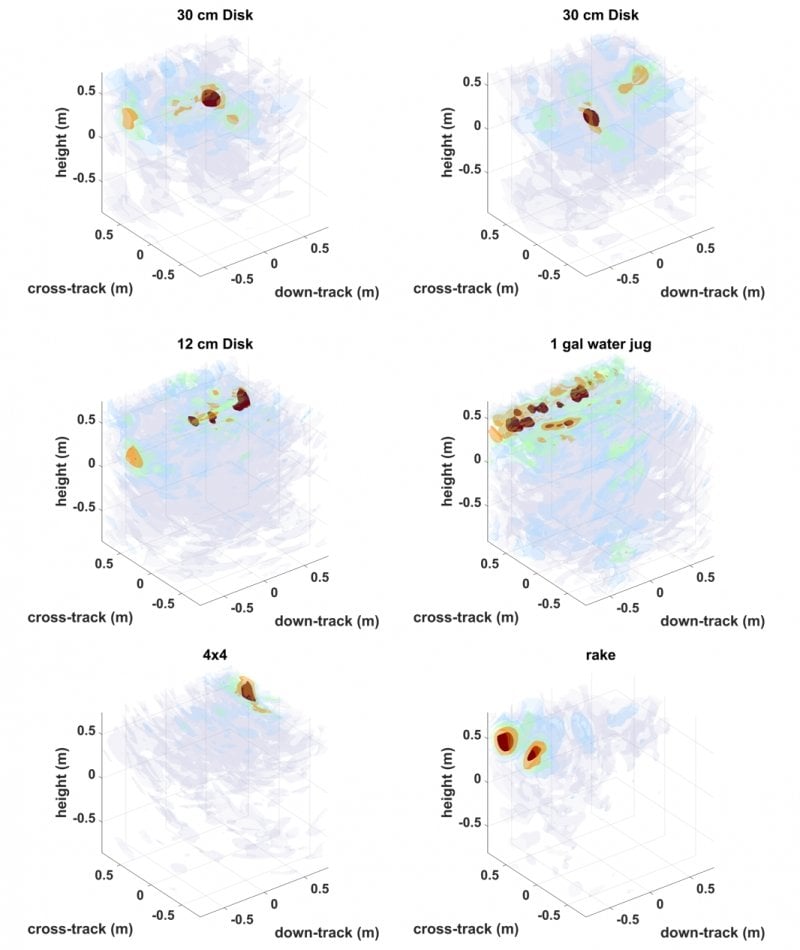
We deploy a four-port, wideband, low frequency stepped frequency continuous wave (SFCW) radar using an AKELA vector network analyzer, with ability to transmit 256 frequencies between 500mhz and 2000 mhz. This GPS sensor system was deployed on our Bergen Quad-8 UAV to demonstrate buried object detection.
Lightweight Portable Radiometer (LPR)
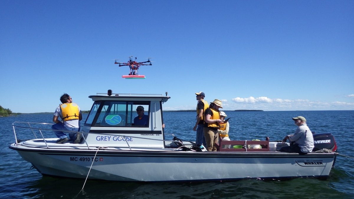
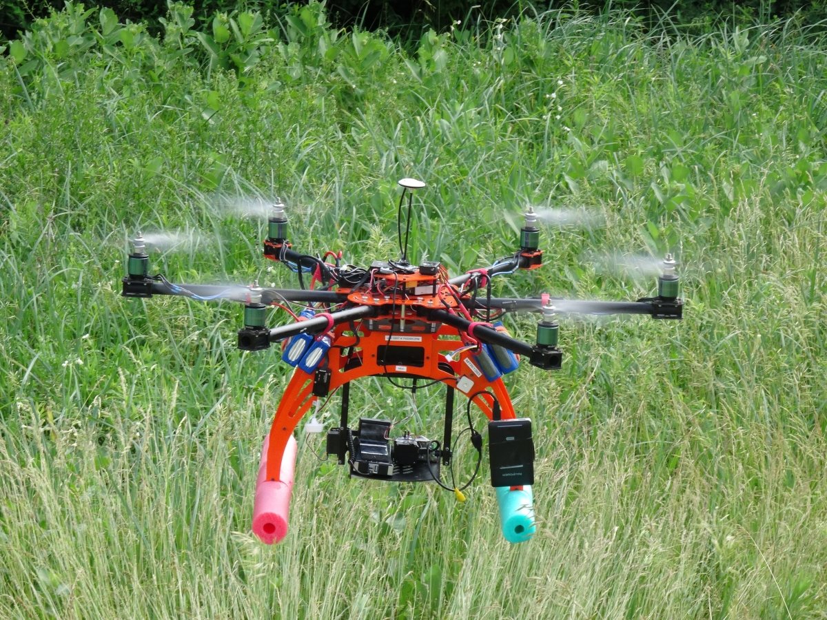
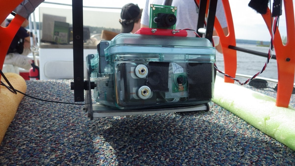
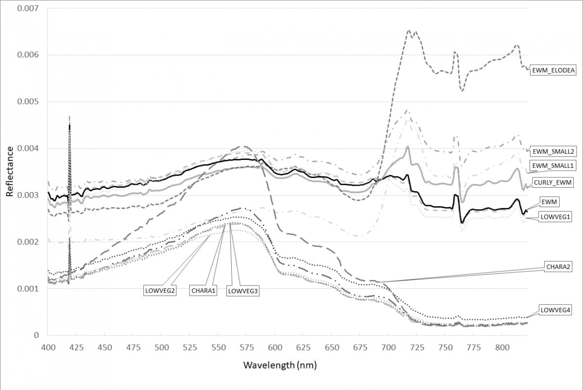
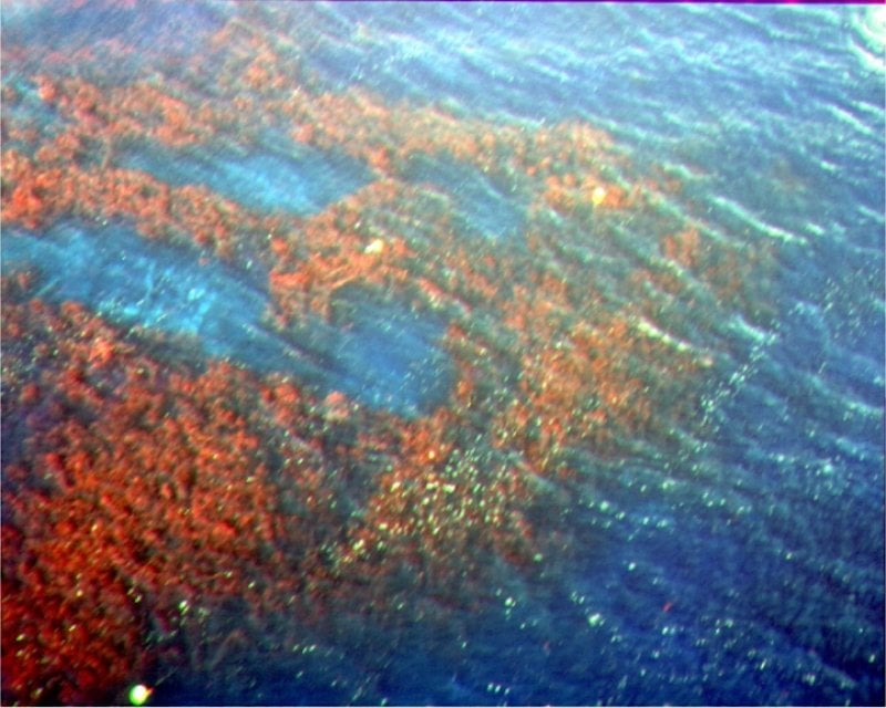
MTRI has developed a lightweight portable radiometer (LPR) system to enable spectroscopy at lower cost than traditional systems, with the ability to be deployed from UAS platforms such as our Bergen hexacopter UAS. It uses two OceanOptics STS sensors with measurements of upwelling radiance and downwelling irradiance from 350 to 1000 nm with 1.5 nm spectral resolution. The LPR has recently been deployed to create spectral profiles of submerged aquatic vegetation and harmful algal blooms.
Tetracam Multispectral Camera
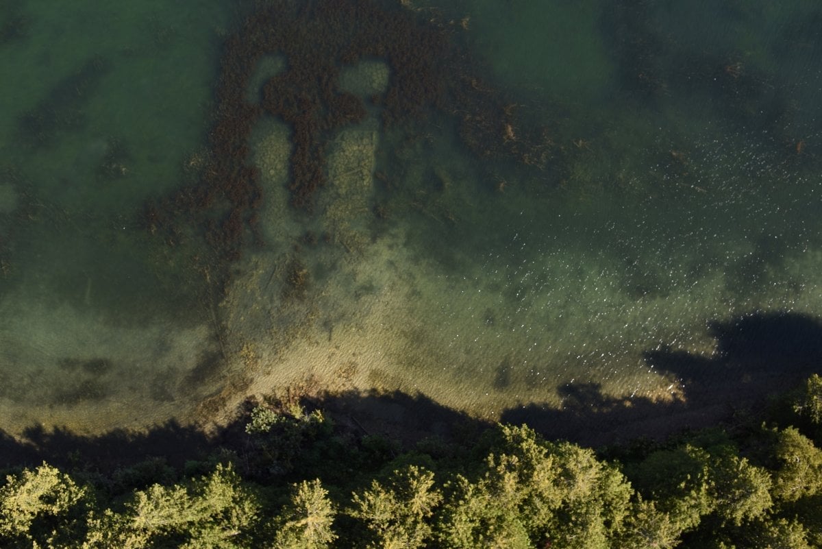
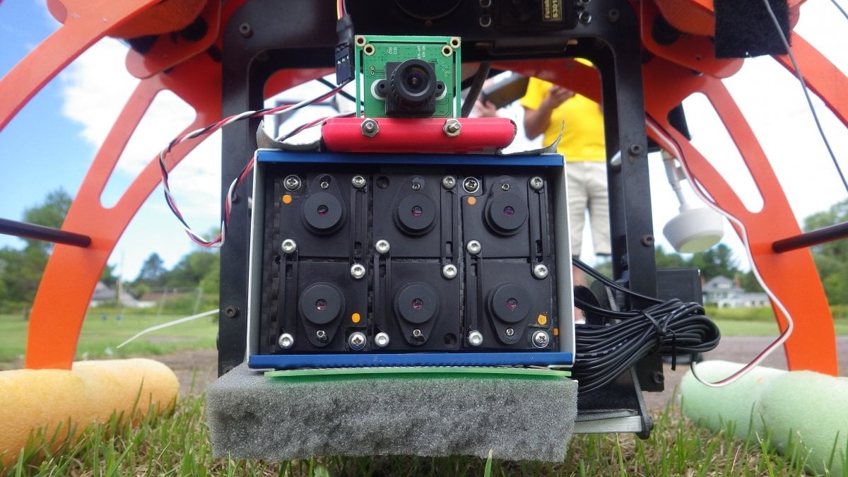
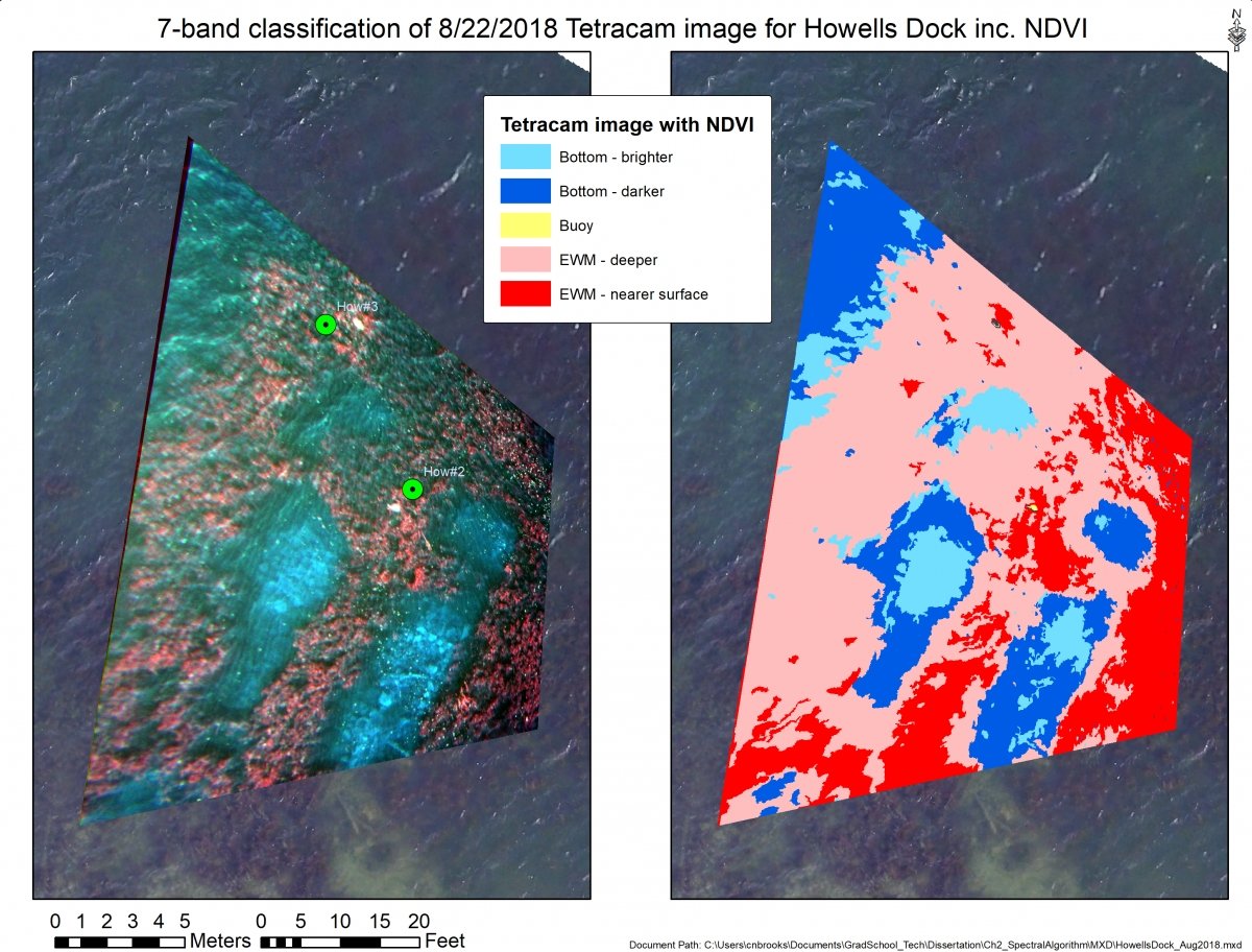
We have deployed the Tetracam Micro-MCA6 tunable six-band multispectral camera to identify submerged aquatic vegetation species in the Great Lakes, with a focus on identifying the invasive plant Eurasian watermilfoil. We have also modified the bands to collect harmful algal bloom data and identify areas with high concentrations of dissolved organic carbon at river mouths. We can apply different polarization filters to help identify anthropogenic features in images or improve monitoring of aquatic areas.

