This project was funded through the US Environmental Protection Agency (EPA) Great Lakes Restoration Initiative (GLRI), grant number GL-00301928-0, 2016-2018.
Description
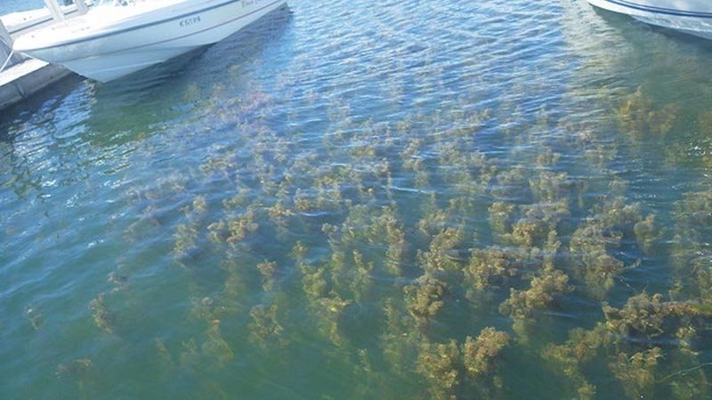
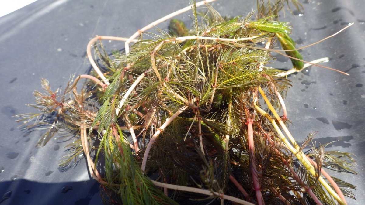
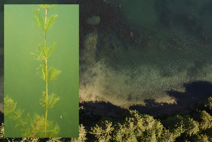
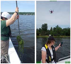
This project implemented a medium-scale (up to 10 acres/year) biopesticide treatment using the indigenous fungus Mycoleptodiscus terrestris (Gerd.), or Mt, and other techniques for control of invasive Eurasian watermilfoil (EWM) in the Les Cheneaux Islands of Lake Huron. Treatment outcomes as well as longer-term effects of previous releases of the fungus and a milfoil weevil were evaluated using field surveys and multi-scale remote sensing and mapping across an 800-acre area, and shared through outreach. The project helped promote public recreational opportunities in an area of high economic value and improved ecosystem function by restoring and retaining native aquatic vegetation species.
Responding to the local community’s strong preference for avoiding commercial herbicide use at the scale that would be required to control the area’s nuisance EWM (and the approx. 120 potable water intakes currently used by area residents, which present an obstacle to chemical herbicide application), and building on previous work testing and developing EWM biocontrol methods at this site, Michigan Technological University (MTU) and the Les Cheneaux Watershed Council (LCWC) aimed to continue implementing and evaluating EWM biocontrol techniques. We proposed an adaptive management approach that evaluates the performance of the treatment technique established for EWM control using the fungal pathogen Mycoleptodiscus terrestris (Gerd.), or Mt, an indigenous organism not altered by genetic engineering. The use of adaptive management built from the current GLRI project (completed late 2015), “Arresting the spread of Eurasian watermilfoil in Lake Superior” (GL-00E01291-0), led by PI Casey Huckins, who is a Co-I for this proposal.
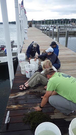
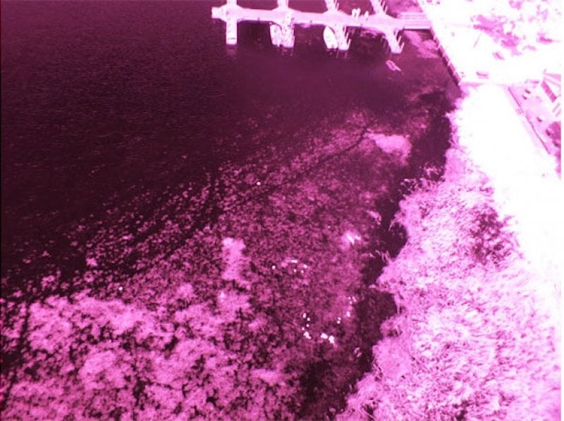
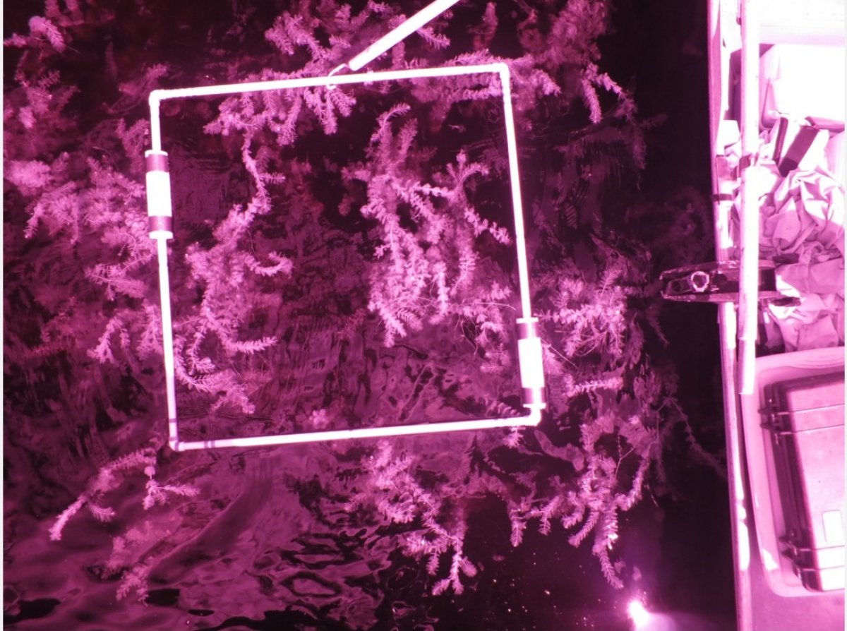
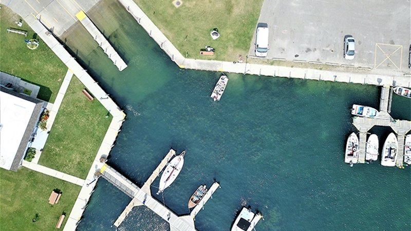
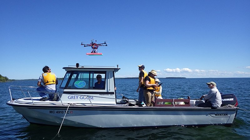
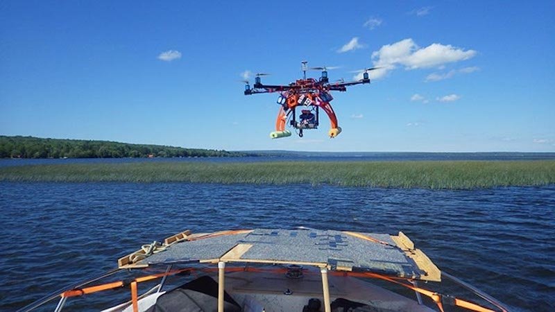
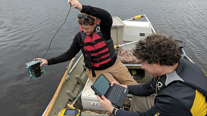
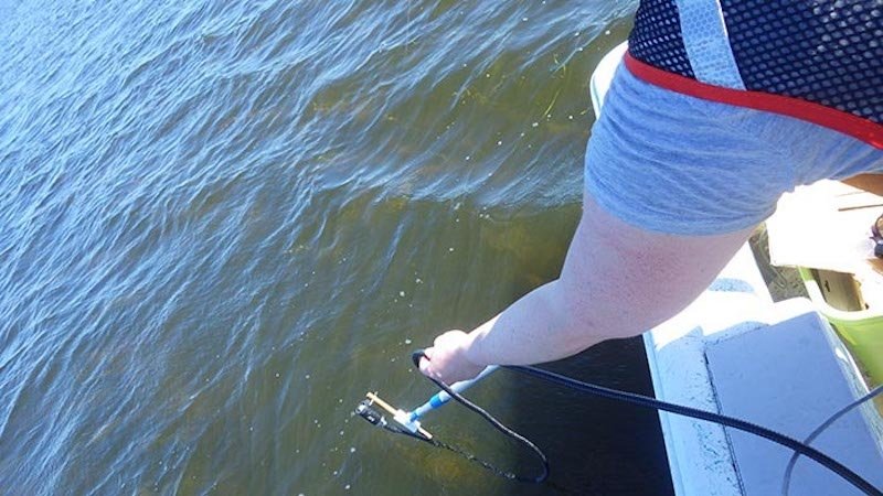
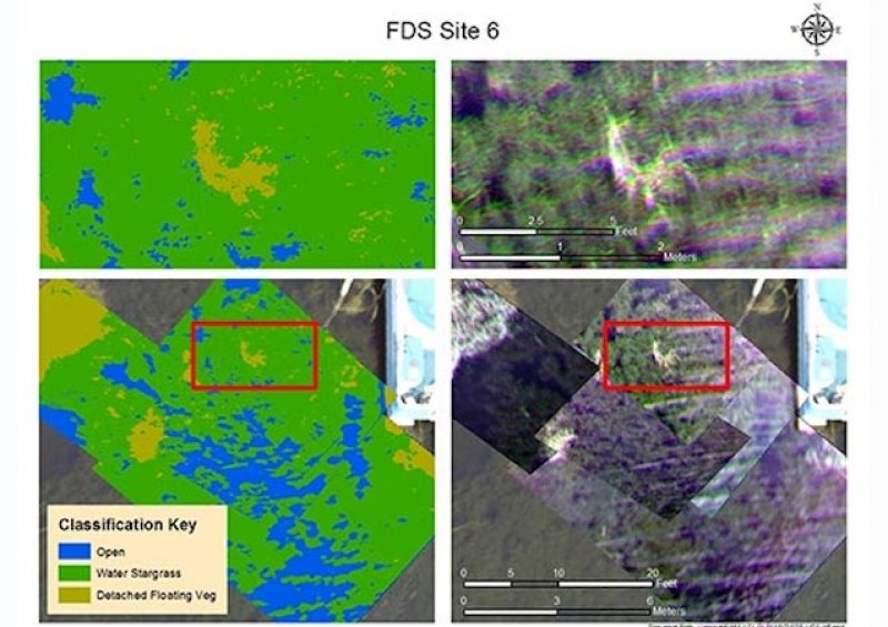
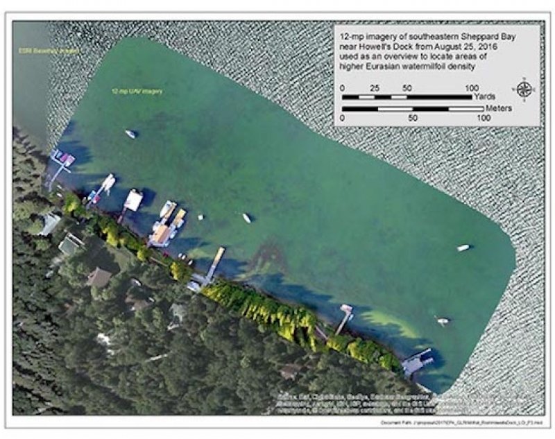
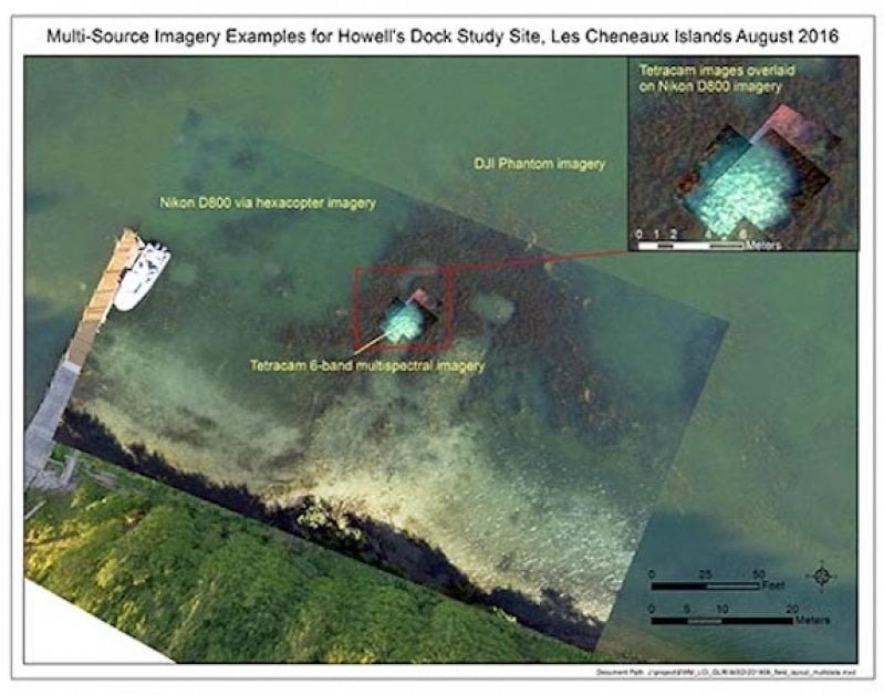
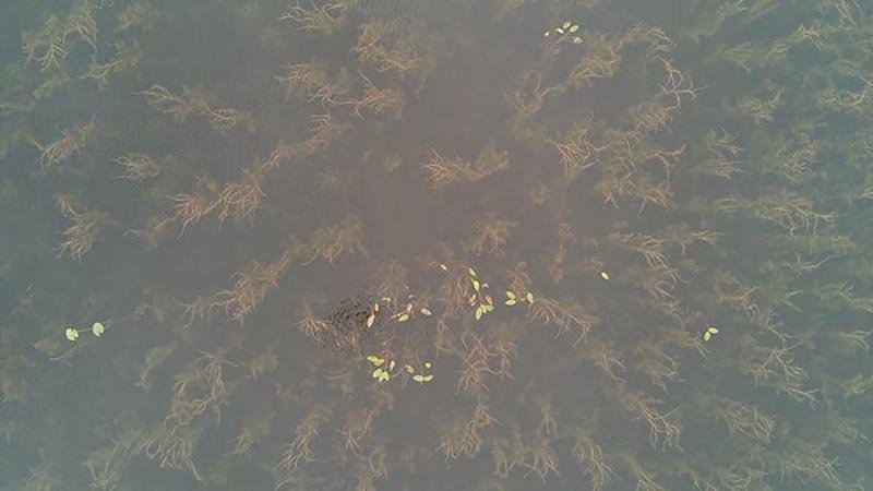
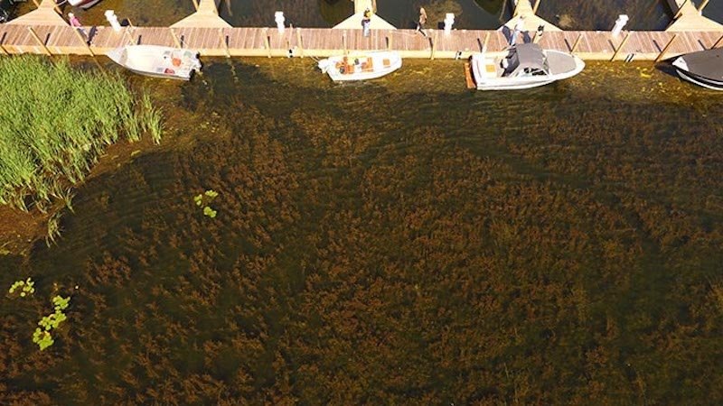
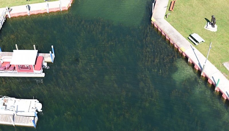
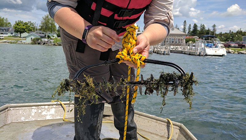
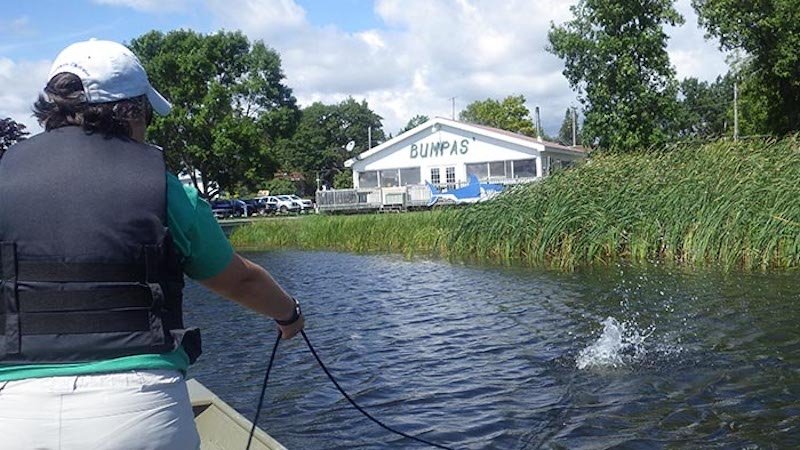
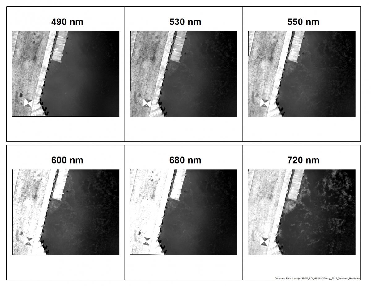
The extent of benthic cover by EWM as well as other macrophyte species was comprehensively mapped using field surveys and high-resolution, multiscale remote sensing. Mt treatment plots totaling up to 10 acres of EWM beds were established each year within the approximately 800-acre area of Cedarville and Sheppard Bays. Analysis of the differences between treatment plots and in the environmental conditions at the time of treatment application helped clarify the conditions that favor EWM susceptibility to Mt. Outputs included a revised and expanded Les Cheneaux Dynamic Aquatic Adaptive Management Plan, and documentation of effective remote sensing EWM mapping methods. An updated web-based EWM information clearinghouse helped guide landowners and managers within the Les Cheneaux watershed and across the Great Lakes basin on the appropriate use and limitations of the biocontrol and mechanical control (harvesting, tarping) techniques that have been implemented in the LCI. Results were disseminated with the help of the LCWC, who were collaborators for this project.
Related Research
- Arresting the Spread of Eurasian Watermilfoil (Myriophyllum spicatum) in the Great Lakes
- Smith et al. 2018: Use of Mycoleptodiscus terrestris as a mycoherbicide for Myriophyllum spicatum (Eurasian watermilfoil) management in the open-water system of the Les Cheneaux Islands, Michigan
- Great Lakes Echo 2016 article: Fighting invaders with drones and fungi
Image Gallery