Add Python to Your Modern GIS Toolkit.
Python, that high-level, interpreted programming language known for its simplicity, readability, versatility, and library support, is changing the face of Geographical Information Systems (GIS). In GIS, Python and its libraries are widely used to manipulate and analyze data, to automate repetitive tasks in GIS workflows, to generate custom tools and plugins, to create interactive web maps and data visualizations, to convert addresses into geographic coordinates, to enable network analysis and routing, to conduct spatial analysis and predictive modeling, and much, much more.
Because of its versatility and readability, then, Python integrates well with several types of popular GIS software, such as ArcGIS, QGIS, and GRASS GIS, making it a powerful tool for GIS professionals and researchers.
Those who can wield Python within the GIS environment can simplify complex GIS tasks, improve their productivity, and utilize a flexible platform for geospatial analysis and visualization. You, too, can investigate and apply the powerful tool of Python in this non-credit professional development course.
Overview of the Python for Modern GIS and Remote Sensing
This noncredit, online, asynchronous professional development course is specifically designed to help students learn beginning and immediate-level applications of Python for both understanding and writing simple scripts, automating workflows, and solving day-to-day, real-world geoprocessing tasks in the ArcGIS ecosystem and open-source platform.
The course introduces students to many types of software and programming languages and platforms, such as Esri ArcGIS Pro, Jupyter Notebook, Anaconda, Microsoft Visual Studio, ArcPy/ArcGIS API, and GDAL.
The end goal is equipping students with the skills to become a proficient Python coder in order to broaden and enhance their GIS analysis skills, which are crucial for many professional roles.
This course also provides an introduction to the for-credit program offered by Michigan Tech's College of Forestry and Environmental Science.
Instructor: Dr. Parth Bhatt
Delivery: Online (Asynchronous) with optional live office hour
Duration: 7 weeks
Next Start Date:
- March 16, 2026 (Spring, Track B)
Total Costs and Fees: $895
Registration: through the Global Campus Professional Development Storefront
Course Details
What Previous Students Have Said
"This course was beneficial to me as a working professional. We are currently trying to implement more custom GIS options for our clients, and having the knowledge of Python coding greatly increases our ability to serve our client's interests and needs. The instructor was very responsive and helpful throughout the course, and the asynchronous design allowed for flexibility while working a full-time job."
"Within a few days of completing the Python for Geographical Information Science (GIS) and Remote Sensing course, I was able to write working Python scripts for a project that I manage. Computer programming has never come easy to me and I felt that the teaching style and lectures were done in a way that I could actually wrap my head around the concepts."
"This course helped strengthen my skills in ArcGIS Pro by teaching me the basics of Python and how it can be applied to GIS to effectively work with geospatial data. Parth Bhatt was a great professor who seemed to genuinely care about student success and was very responsive and helpful. I would recommend this course to any professionals who have a working knowledge of GIS and coding who want to create an efficient and effective workflow in ArcGIS Pro."
Who Should Take This Course?
Previous participants in this class have included the following:
- Ecologists
- Environmental and Civil Engineers
- Foresters (Natural Resource Professionals)
- Geologists
- GIS Analysts
- GIS Specialists
- Information Technology Specialists
- Project Professionals
- Surveyors
- Wildlife Management Professionals
Next Steps and Registration
- Click on the registration button, which takes you to the Global Campus storefront for your course section (an external site).
- Register and pay for the course before the course start.
- Pay for your course with one of these credit cards: American Express, Discovery, Mastercard, or Visa.
- Receive instructions for accessing the required course materials.
- Attend class and start learning your course content and exploring modern Python and GIS.
Course Instructor
Parth Bhatt, MS, PhD, is an Assistant Professor/Researcher in the College of Forest Resources and Environmental Science. He has considerable experience in and a passion for geoinformatics, geographical information science, and environmental sciences.
His innovative research uses advanced technology (machine learning, digital image processing, remote sensing, and spatial data analysis) to solve the age-old, yet complex problems of natural resource management, land use/cover, invasive species, and forest health.
He is not only teaching this professional development certificate, but also instructing the longer, for-credit certificates in this subject area. His most popular 9-credit certificate is Foundations in Geographic Information Science for Natural Resources.
Email Parth if you have an interest in a future section of this course.

Parth Bhatt
- Associate Teaching Professor/Researcher
- Program Director, Online Master's of GIS
- Lead GIS & Remote Sensing Educator, MichiganView
- ppbhatt@mtu.edu
- 906-487-2291
- Noblet Building 189-190
Learn more about Dr. Parth Bhatt and his research.
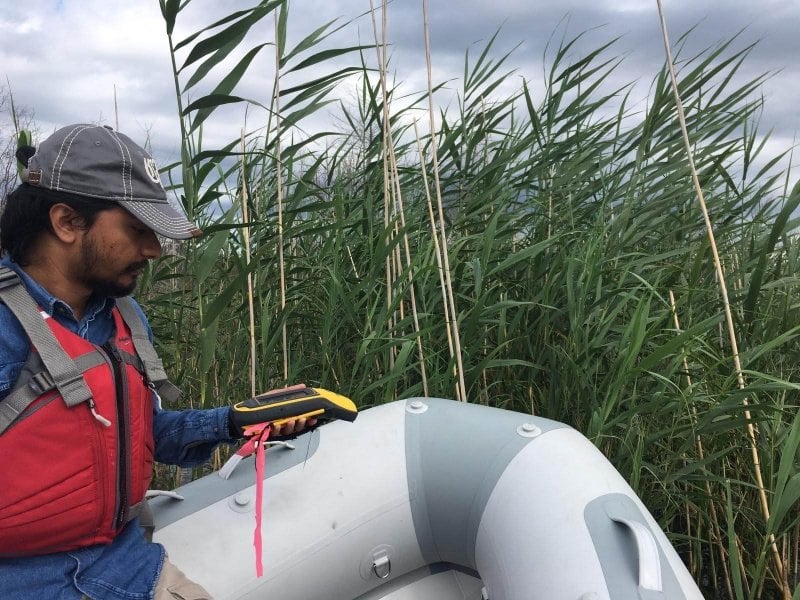
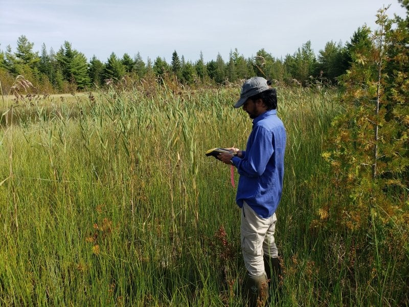
Dr. Parth Bhatt collecting data while out in the field.