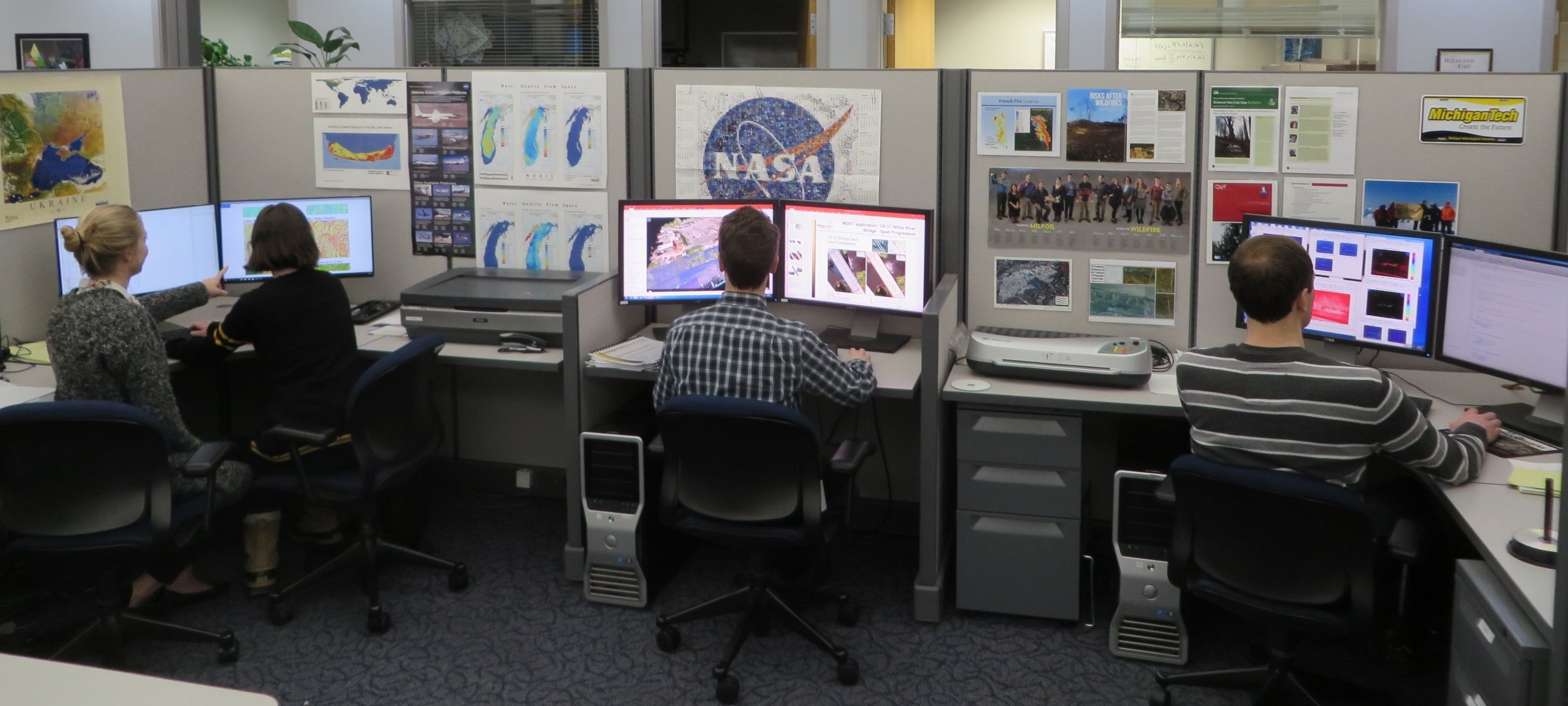
MTRI’s fully-equipped Spatial Analysis Laboratory (SAL) is the primary source of software, hardware, and data resources for geospatial projects. The SAL includes a full suite of GIS and remote sensing software, a large and scalable storage system, and large-format printing capabilities. GIS software includes ESRI’s ArcGIS (Pro and Desktop) with extensions; open source geospatial tools include QGIS, GeoServer, MapServer, and PostGIS; remote sensing software includes ERDAS Imagine, ENVI with IDL, and Trimble eCognition Developer; close-range photogrammetry software includes Agisoft Metashape and Pix4D; and point cloud processing tools such as Quick Terrain Modeler; other relevant software includes Google Earth Professional and Trimble Pathfinder Office.
The SAL data storage system holds over 100 terabytes of spatial data, and has a comprehensive collection of U.S. and international GIS layers for study areas including the Great Lakes region, boreal Canada, and Alaska. MTRI operates web mapping servers, image streaming servers, remote access GIS processing servers, virtual servers, five high-speed GIS workstations, and periodic Amazon Web Services (AWS) instances to assist with data processing. Equipment for geospatially-enabled field data collection includes rugged GPS-enabled cameras, field data collection tablets, multiple field GPS units, and Trimble GPS units that include decimeter-level accuracy capabilities.