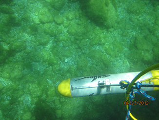
Michigan Tech’s Survey Vessel, the Husky Traveler, is instrumental in field truthing satellite derived data. The vessel is outfitted to help with field data collection that assists in submerged aquatic vegetation, bathymetry, and bottom-type mapping in the Great Lakes.
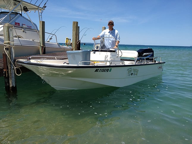
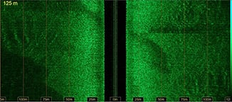
It uses include bathymetry mapping, Submerged Aquatic Vegetation verification, mapping and quantifying HABs, and coastal vegetation characterization. The boat is equipped with a Lowrance depth sounder and side scan sonar.
The Husky Traveler allows for the verification of the Submerged Aquatic Vegetation mapping programs at MTRI. Parameters such as water clarity and vegetation presence are measured at various locations in the Lower Great Lakes.
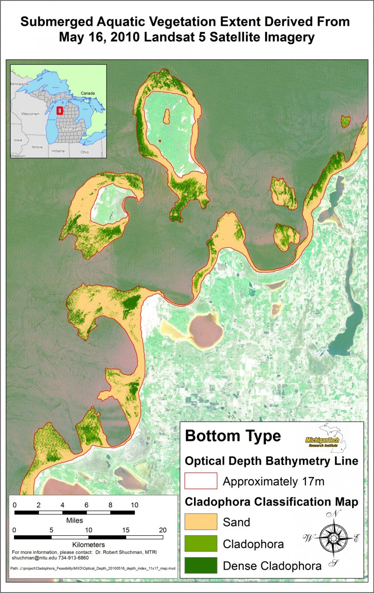
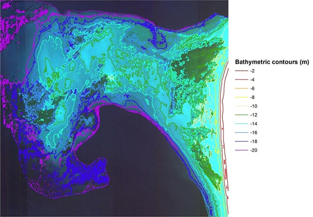
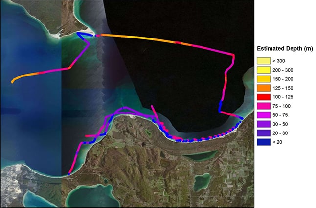
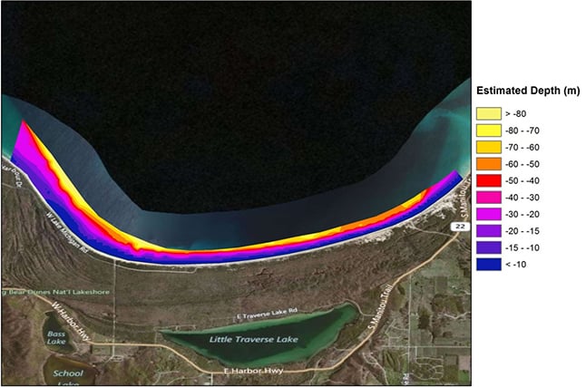
Calibration and validation for bathymetric and bottom type mapping can easily be collected using the Husky Traveler in the Great Lakes. MTRI is using these data and satellite imagery to map bathymetry for the National Park Service in the Great Lakes.
Vessel Emergency Information
Boat Description
Name: SV Husky Traveler
Hull Color: White
Cabin Color: N/A
Length: 17 feet
Hull ID Number: N/A
Federal ID#: N/A
Boat Power
Engine Type: Outboard
Engine Horsepower: 90 hp
Number of Engines: One
Fuel Capacity: 40 gallons
Survival and Emergency Equipment
PFDs: Yes
Flashlight: Yes
EPIRB: No
On-Board Cell Phone: No
Marine Radio: Yes, VHF 156-158 MHZ
Immersion Suits: No
Flares: Yes
Life raft: No
Smoke Signals: No
Distress Signal Light: No