

In 1890 a survey for the proposed railroad was completed and planning began to find a source to fund the building of the NMRC’s first road. However the funding of the road became a victim of circumstance as multiple events caused investors to back out of the opportunity.
The first company that showed interest in building the new road was the Chicago, Milwaukee and St. Paul Railroad. However, the panic of 1893 caused the company to lose interest, and postponed the building of the road. In 1896 plans were revived to build the road by the Chicago, Milwaukee and St. Paul Railroad, but yet again worries about the stability of United States currency arose and the construction of the road was yet again delayed. After six years of hopeful and careful planning, it appeared that the road would prove difficult if not impossible to bring to reality.
In 1897 the worries about US currency began to subside and with this, an Upper Peninsula company became interested in the railroad. The St. Mary's Canal and Mineral Land Company was interested in a rail line that would run through areas of their exploratory mining areas. This interest pushed the officers to offer relatively large tracts of valuable land to the rail company.
With the promise of lands upon completion of the road, Wright began securing funds with which to build the new railroad. As the promise of the road grew, another businessman, this time from Boston, grew interested in the project. However the growing threat of war with Spain caused all those who promised to invest in the road to, once again, become uninterested.
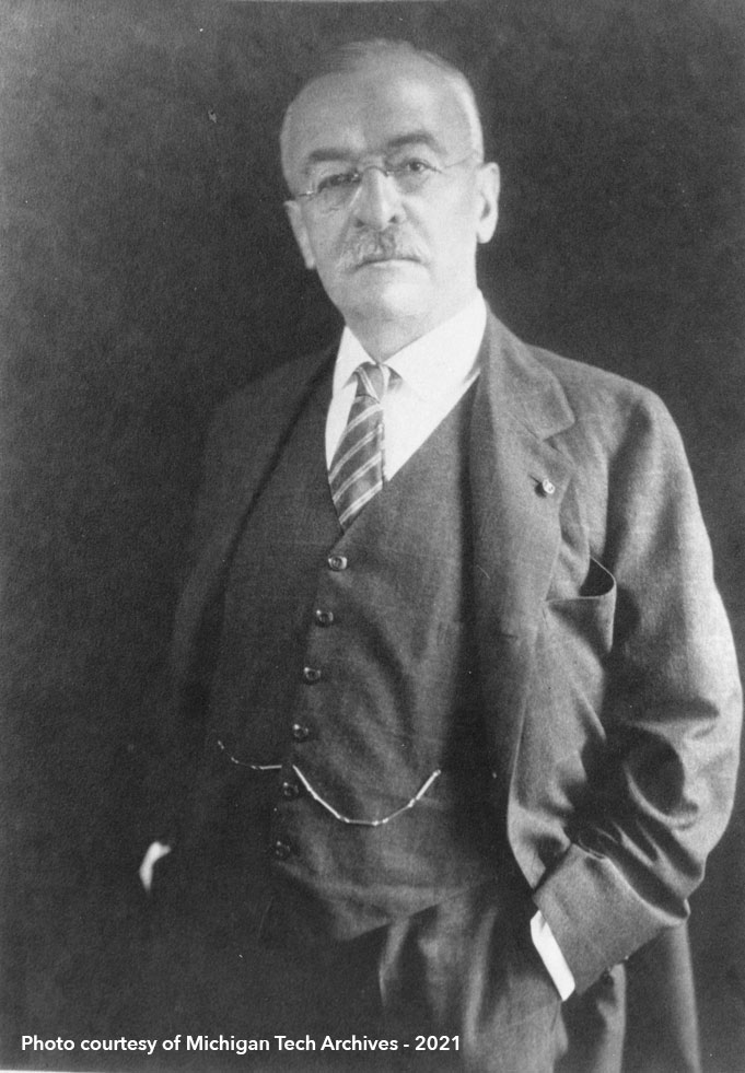
During the short period of the Spanish American War, April to August of 1898, Wright began a plan to use lands owned by himself in conjunction with land of S.L. Smith and the Douglas estate to form a tract of land that held valuable mineral resources and could be used as a motive to develop and extend the railroad. With the end of the war approaching this new plan was outlined to William Paine, a successful broker with the Paine, Webber & Company and early investor and future President in the Copper Range Consolidated Company. After many talks, investments were made and the railroad approached realization.
 |