Get outside.
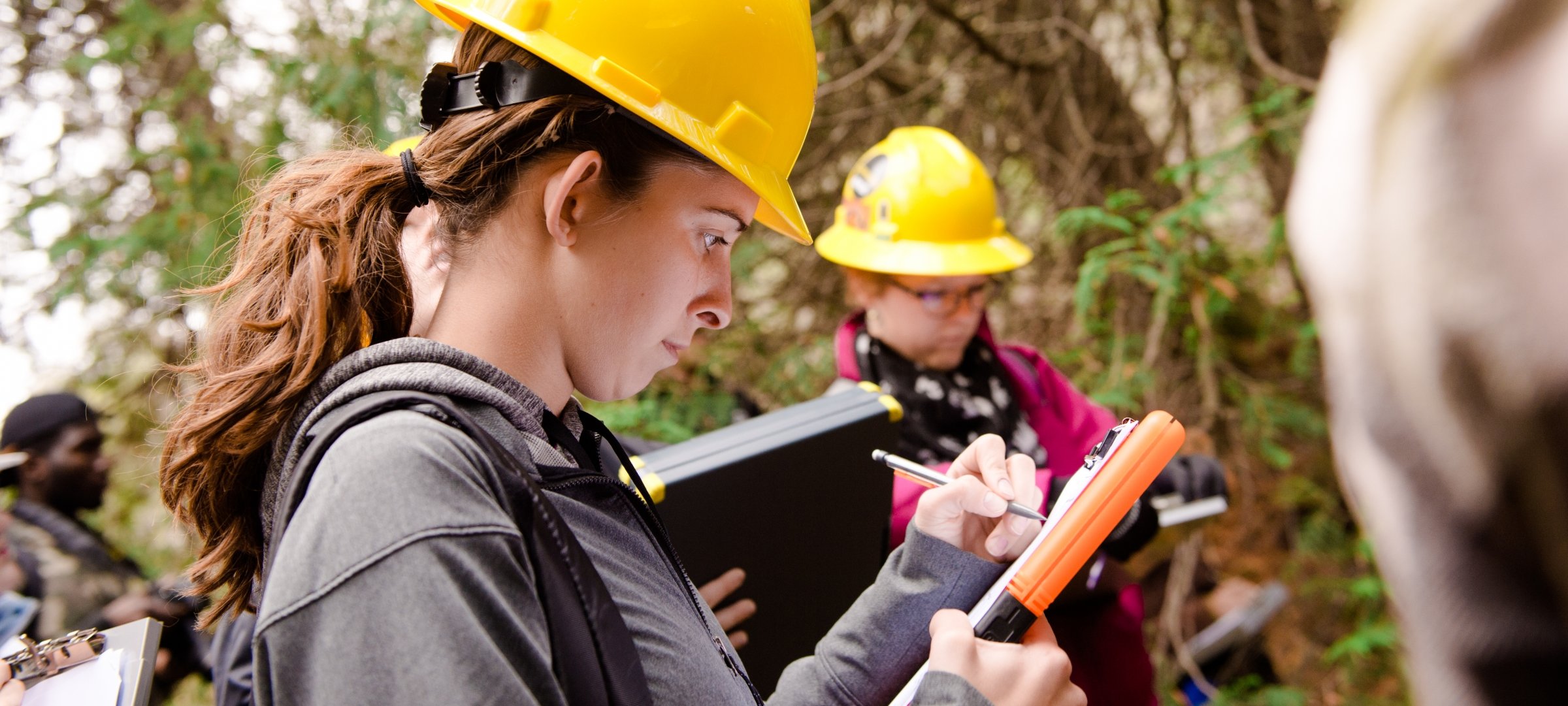
Geospatial engineers measure the physical features of the Earth with great precision. Combine a love of math, computing, and the outdoors with tools ranging from remote-sensing systems to transits to verify and establish land boundaries or the design and layout of infrastructure, including roads, bridges, and cell phone towers. Be prepared for a career as a professional surveyor.
Request Information
Form loading . . .
Work with unmanned aerial vehicles, GIS, LiDAR scanning systems, and high-precision optical and electronic instruments. Develop the skills to work with the technology of tomorrow. Participate in co-ops, internships, and undergraduate research opportunities like 3D mapping of local historical sites or researching GPS mapping accuracy using our CORS station. Learn from world-class faculty in small classes, allowing you to get to know your professors on a first-name basis. Focus your studies on geodesy, cartography, photogrammetry, or geographic information systems (GIS). Qualify to take the Fundamentals of Surveying exam and be certified as a professional surveyor. You can also earn a master’s in one additional year through our Accelerated Master’s program.
"Sitting at a desk job from 9 to 5 never truly appealed to me; I was looking for a career that would fulfill my need for adventure and allow me to spend time outdoors."
Learn more about geospatial engineering at Michigan Tech.