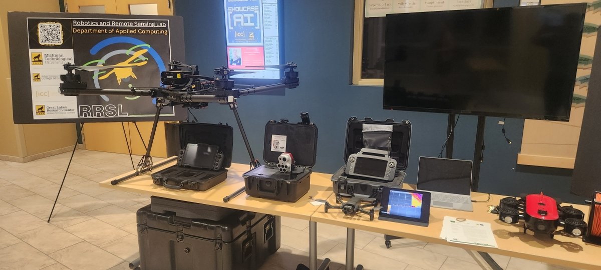
The integration of UAV imagery and deep learning algorithms in remote sensing is poised to continue transforming our ability to monitor and comprehend the Earth's surface and its dynamic processes. This progress is anticipated to drive advancements in environmental conservation, agriculture, disaster management, and various other fields. The critical need in the domain of UAV data analysis and remote sensing is the integration of data from a range of sensors, including optical, thermal, LiDAR, and hyper-spectral sensors. In light of this, the Robotics and Remote Sensing Lab (RRSL) has recently acquired a state-of-the-art drone AltaX, which is expected to significantly enhance research in the realm of multi-sensor UAV-based remote sensing applications.
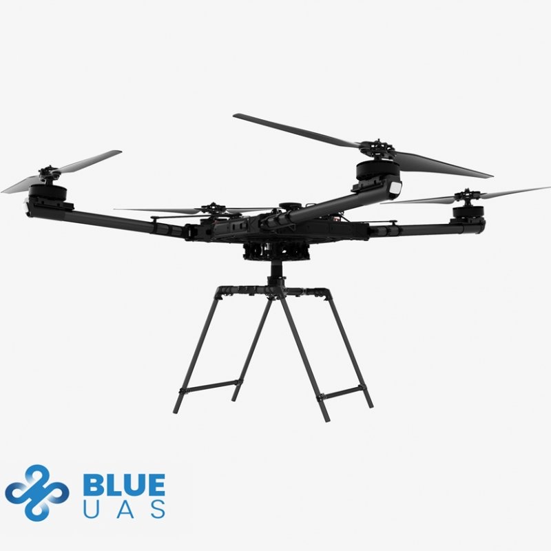
AltaX Drone

AltaX is a Blue sUAS capable of lifting up to 35 lbs, allowing for the attachment of various imaging devices and the acquisition of diverse data types in a single flight. Moreover, both the drone's hardware and software can be extended. The primary controller, PX4, is used in this drone which allows the integration of companion computers to enhance the capabilities of the drone system. Companion computers handle AI and machine learning algorithms and perform real-time data analysis and decision-making. AltaX also uses MAVLink, enabling seamless communication between the PX4, ground control stations, companion computers, and a variety of sensors and peripherals. An outstanding feature of MAVLink is its open-source nature, making its source code accessible for review, modification, and redistribution by the community. This openness fosters collaboration and innovation. More details about AltaX’s specs can be found here.
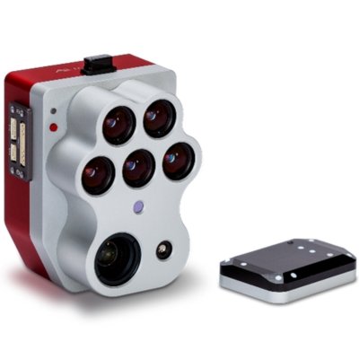
Our AltaX is equipped with a Micasense Altum PT multi-spectral camera. The Altum-PT's improved resolution and capability makes it ideal for intensive research and high-value crop management in production agriculture, from plant scientists seeking leaf-level information in their phenotyping efforts to farmers looking for optimal irrigation practices in the face of worldwide climate change. The MicaSense Altum-PT is a powerful 3-in-1 Ag payload that combines agricultural and remote sensing. Integrated into this system is a 12MP panchromatic sensor and 320x256 FLIR 320x256 FLIR Boson® radiometric thermal sensor, each with five discrete spectral bands. With one flight, users can obtain outputs like RGB color, crop vigor, heat maps, and high-resolution panchromatic images. The Altum-PT’s higher resolutions also open up additional analytical possibilities for your operations.
Multi-Spectral Camera

This camera enhanced resolution and capabilities, rendering it ideal for rigorous research and high-value crop management in the agricultural production sector. It serves plant scientists seeking leaf-level information for their phenotyping endeavors and seeking optimal irrigation strategies in response to global climate changes. The MicaSense Altum PT is a robust 3-in-1 payload that seamlessly integrates agricultural and remote sensing capabilities. Within this system, there is a 12MP panchromatic sensor and a 320x256 FLIR Boson® radiometric thermal sensor, each equipped with five distinct spectral bands. This comprehensive setup enables users to acquire various outputs in a single flight, including RGB color, crop vigor assessments, heat maps, and high-resolution panchromatic images.
