Mission and Purpose
The Geospatial Research Facility (GRF), established in 2014 and housed in the Great Lakes Research Center, aims to make Michigan Technological University the leading geospatial research institution in the Midwest by providing:
- Expert geographic information science (GIS) support for researchers & students;
- Access to specialized geospatial equipment, software, and laboratories;
- A cutting-edge suite of geospatial servers and GIS data repositories for advanced geospatial research and teaching for the entire MTU community and beyond
The facility seeks to bring together researchers from across campus currently using geospatial data and methods, and provide a space to those who wish to apply GIS in their research programs.
The GRF employs both professional GISP staff and student-researchers, promoting GIS-training, 'real-world' project management, and interdisciplinary collaboration research experiences.
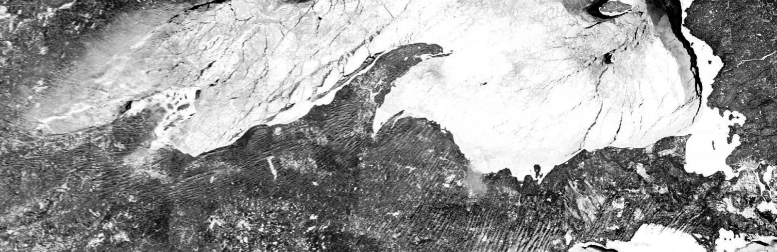
In the Fall of 2023, the GRF unveiled the MTU GeoPortal - a multidisciplinary, one-stop-shop for maps and GIS datasets for the Great Lakes Region and beyond. The goal of the MTU GeoPortal is to supply geospatial researchers with authoritative and unique geospatial data with an online platform and easy-to-use geospatial analytical tools.


Latest News