Geographic information science is the science of making better decisions. Geospatial professionals integrate, map, analyze, and interpret data across disciplines to identify trends, relationships, and patterns. In a field that’s growing at a rate of 10 percent per year, skilled geospatial workers are in high demand. If you want a career that solves problems and answers questions, follow the coordinates to Michigan Technological University. Are you ready?
Our Accelerated Master's Program is available for current Michigan Tech students. Explore our Online Master's Program.
Program Overview
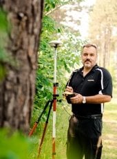
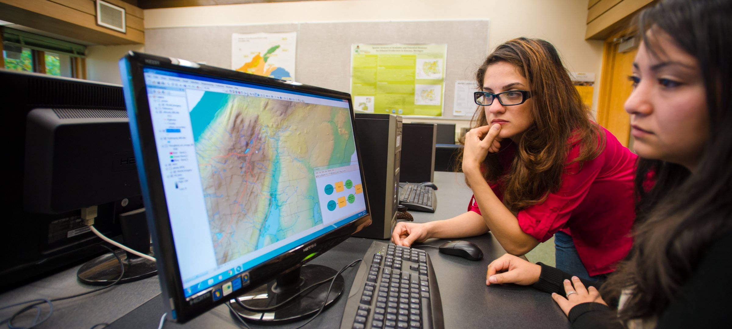
Our masters of geographic information science program provides you with a foundation in geospatial principles and analysis. From there, you conduct interdisciplinary studies in statistics, communications, environmental policy, and business. You’ll use geographic information systems (GIS) technology—a combination of hardware, software, and geographically referenced data—to look at information in new ways and better understand what the data reveals. GIS technology has long been used by natural resource managers in land use planning, natural hazard assessment, wildlife habitat mapping, and timber management. It can also be used in emergency response planning, crime analysis, land records management, siting of retail stores, precision farming, and infrastructure upgrading.
-
Delivery Options
- Online: MGIS
- Accelerated: MGIS
- On-Campus: MGIS
Geographic Information Science Program Details
Choose a specific degree option or delivery type to learn more about the geographic information science program at Michigan Tech. For international students, Geographic Information Science is a designated STEM program.
On-Campus Programs
Online Programs
Additional Program Information
Want to learn more about geographic information science at Michigan Tech? Visit the department for more information:
Sample Areas of Interest
Select areas of interest to help customize your Geographic Information Science MGIS. Sample areas include:
- Digital Image Processing
- Geographical Information Systems
- Remote Sensing
- Spatial Modeling