Drill Here! Locating Drinking Water Under Challenging Conditions
Volcanic ground is a challenging place to drill water wells. In central Nicaragua, situated on volcanic bedrock, only 3 of every 10 wells drilled produce sufficient water for even one household.
That's because, in volcanic rock, groundwater flows primarily through fracture zones that can't be seen on the earth's surface. Locating those underground fractures can improve the well-drilling success rate dramatically. But up to now, there has been virtually no funding for groundwater exploration and little research into using remote sensors such as satellite images to identify the location of subsurface faults and fractures.
As part of a larger, National Science Foundation-funded research project titled "Remote Sensing for Hazards Mitigation and Resource Protection in Latin America", a Michigan Technological University graduate student in geologic and mining engineering and sciences designed a map using remote sensing images to locate underground fractures.
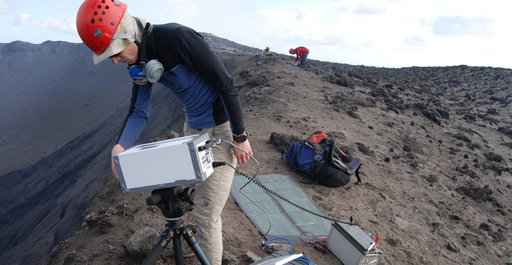
Jill Bruning, who recently received her Master's degree from Michigan Tech; faculty advisor John Gierke, an associate professor of geological and mining engineering and sciences; and other students then took the map to Nicaragua for field testing. The goal of their research was to determine which data-processing tools work best with various types of remotely sensed images, field observations and other data to create an effective, efficient method for identifying the best places to drill in challenging terrain.
Bruning's research asked and answered three questions:
- What type of image or combination of image types will best detect lineaments, which are surface characteristics that reveal subsurface structures?
- What processing and interpretation techniques enhance the surface appearance that indicates fracturing below ground?
- How do lineaments identified from remotely sensed images compare to field observations?
She used several kinds of satellite images and several data-processing techniques, overlaying the results to find areas of coincidence between lineament interpretations from the different images. In addition to developing the method, Bruning determined that RADARSAT-1 products are superior to other types of satellite images because they maximize the topographic or surface features of the ground.
No single type of satellite image identified all the lineaments in the final map. However, says Bruning, the method of employing images from multiple sensors is a low-cost, non-invasive way to improve groundwater exploration in remote and geologically challenging areas.
Michigan Technological University is a leading public research university, conducting research, developing new technologies and preparing students to create the future for a prosperous and sustainable world. Michigan Tech offers more than 120 undergraduate and graduate degree programs in engineering, forestry and environmental sciences, computing, technology, business and economics, natural and physical sciences, arts, humanities and social sciences.
Michigan Technological University is an R1 public research university founded in 1885 in Houghton, and is home to nearly 7,500 students from more than 60 countries around the world. Consistently ranked among the best universities in the country for return on investment, Michigan's flagship technological university offers more than 185 undergraduate and graduate degree programs in science and technology, engineering, computing, forestry, business, health professions, humanities, mathematics, social sciences, and the arts. The rural campus is situated just miles from Lake Superior in Michigan's Upper Peninsula, offering year-round opportunities for outdoor adventure.

Comments