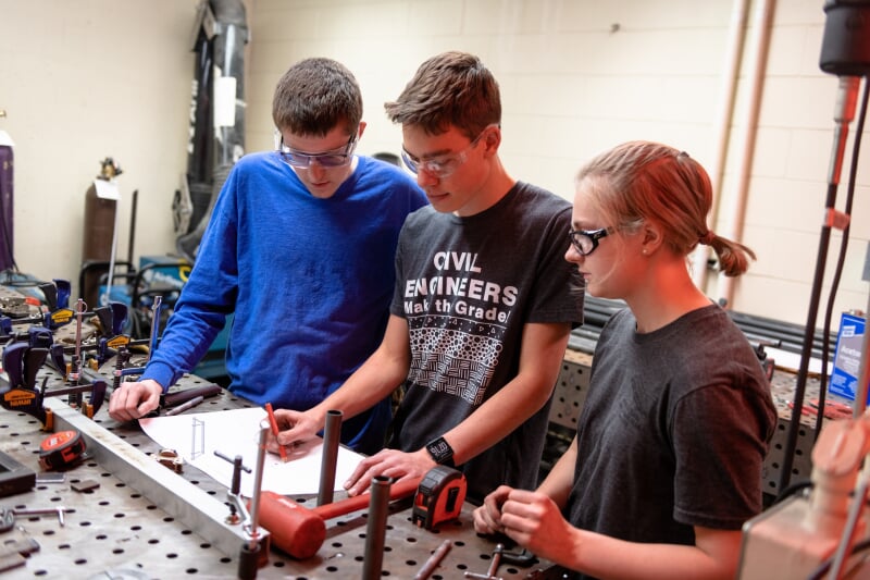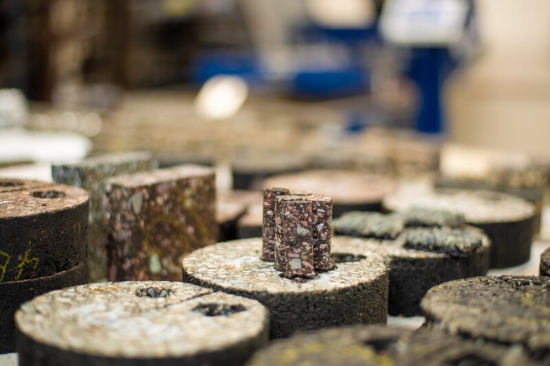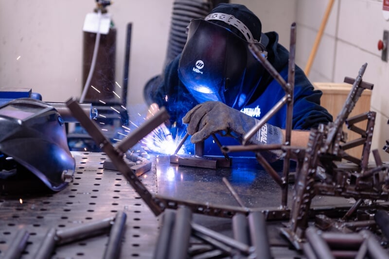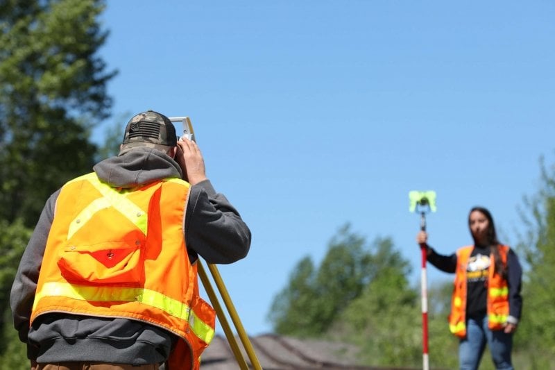
Engineering a Better World
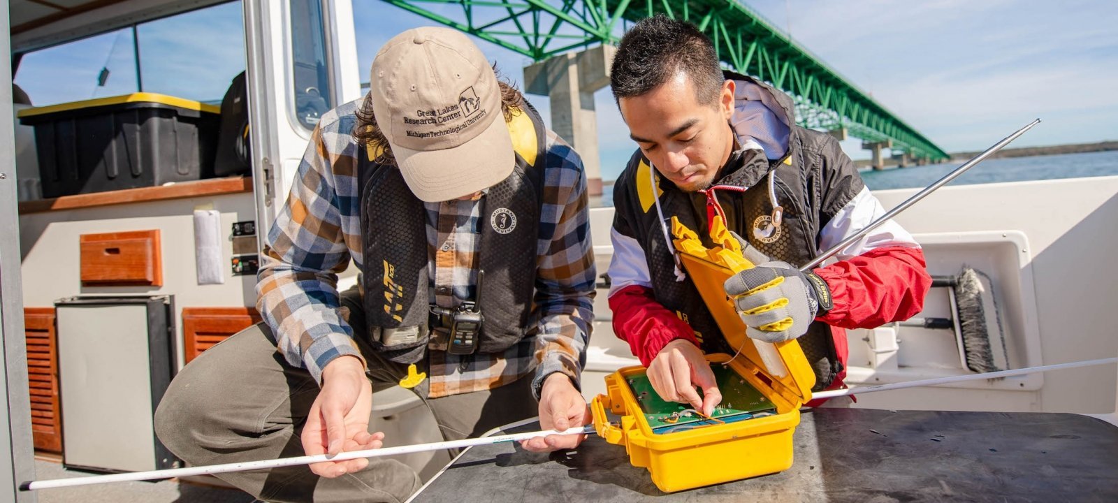
Working as an engineer in the upcoming decades, you will have the chance to play a critical role in making the world a better place. In fact, students at Michigan Tech are getting a head start—by helping to facilitate sustainable development, appropriate technology, beneficial infrastructure, and social change—while they are still in school.