Charting New Waters in Great Lakes Mapping

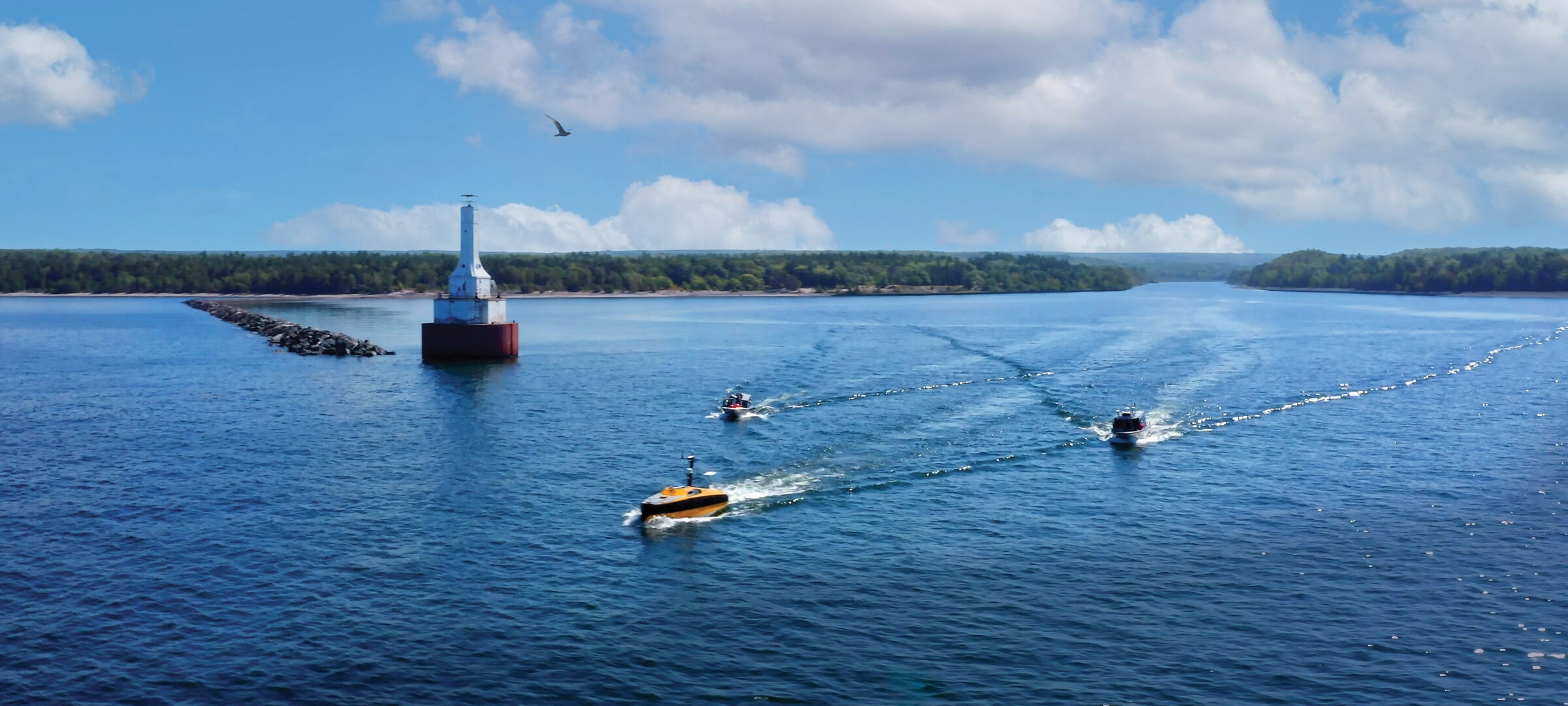
Last September, using Michigan Tech's Great Lakes Research Center (GLRC) as a home base, a group of government officials and industry partners from the Smart Ships Coalition conducted a formal week-long search for a plane missing in Lake Superior since 1968.
The mission included some of the most advanced marine technology available. The group set off from the GLRC's docks aboard two crewed vessels, tasked with supporting the small fleet's third marine asset: Ocean Infinity's Armada 8 autonomous surface vessel. Equipped with a pair of high-resolution wideband multibeam sonar systems, the Armada 8's operators planned to capture ultrahigh-resolution acoustic imagery representing the shape and depth of the lake bed over an area of 21 square miles.
The search had another purpose, as well: Lakebed 2030, an ambitious effort led by the Great Lakes Observing System to map the bottoms of the five big lakes at high density.
"What we're showcasing here is a modern approach to mapping all of our Great Lakes at very high resolution in terms of lake bed bathymetry," said Travis White, GLRC research engineer and project lead on the mission. "That's a really important objective for our Great Lakes states for many different reasons. One is preserving the cultural assets, such as missing shipwrecks, airplanes, and relics from Paleo people who lived along the ancient shorelines of our Great Lakes, below where our modern waterline is today. There's also a lot at stake here for navigation, safety, and commerce, in addition to the technology that we're trying to move forward."
Read about the search in our 2025 Michigan Tech Magazine.

