
Turning disaster into knowledge. That’s the goal of the GEER Association, Geotechnical Extreme Events Reconnaissance, a program sponsored by the National Science Foundation (NSF).
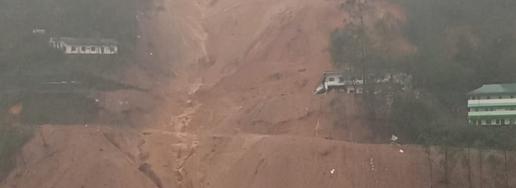
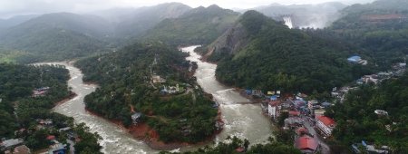
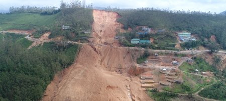
The state of Kerala in Southern India is a land shaped by monsoons. Over the summer, Kerala received rainfall totaling nearly 100 inches (2395.6 mm) between June 1 and August 26, which is significantly more than usual. The incessant rain led to landslides and debris flows washing away bridges and roads—cutting off towns and villages. The initial estimates indicate more than 445 people have died and many of those killed were crushed by debris from landslides.
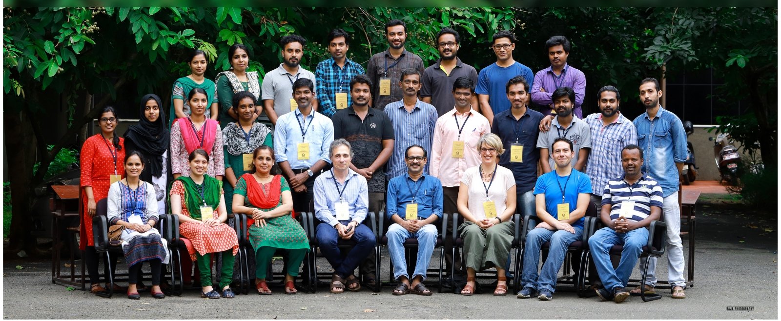
The NSF-sponsored team led by Thomas Oommen, associate professor of geological engineering at Michigan Technological University, and Richard Coffman, associate professor of civil engineering at the University of Arkansas, will visit the flood and landslide-affected areas from September 3 to 10, 2018. Sajin Kumar K.S., assistant professor of geology at the University of Kerala, will be coordinating the visit Kerala.
Flood Response Gets in GEER
The GEER Association has been mobilized to investigate the potential impacts of the torrential rain that has wreaked havoc in the southwestern coast of India in the state of Kerala. The NSF-sponsored team received funds to travel and gather data on the floods and landslides. The research is time sensitive and crucial.
"Engineering that studies extreme events is an experience-driven field in which perishable data that can be used to advance our understanding should be systematically collected immediately following the event,” Oommen says, adding that high-resolution satellite images help engineers document some of that information; however, in a tropical climate, it is hard to get cloud-free images during the rainy season. "Besides, there is a lot of perishable data, such as the condition of critical infrastructure that needs boots on the ground to document."
"It is heartbreaking that Kerala had to go through this disaster, but it is now an opportunity to turn this disaster into knowledge so that we are better prepared for such events in the future."
Oommen, who is originally from Kerala, says the team will focus on understanding how some of the critical infrastructure including roads, bridges and dams performed during the flood event. The team will also document the landslides and debris flows and the impact of the disaster on foundation, coastal structures, slopes and embankments.
The team collects data using a variety of tools. The team will collaborate with local engineering practitioners and scientists. Documenting this extreme event and making the key lessons learned publicly available contribute significantly to advancing engineering research and practice. As Kerala has a past of devastating landslides and floods, the research may provide important insight for current recovery efforts and future engineering projects.
Michigan Technological University is a public research university founded in 1885 in Houghton, Michigan, and is home to more than 7,000 students from 55 countries around the world. Consistently ranked among the best universities in the country for return on investment, Michigan’s flagship technological university offers more than 120 undergraduate and graduate degree programs in science and technology, engineering, computing, forestry, business and economics, health professions, humanities, mathematics, social sciences, and the arts. The rural campus is situated just miles from Lake Superior in Michigan's Upper Peninsula, offering year-round opportunities for outdoor adventure.
Comments