The MS Integrated Geospatial Technology program is also available online.
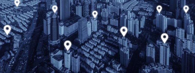
Geospatial technology: the linking of data to a specific location
As a master's student in the integrated geospatial technology program, you will discover the power of place. You will gain in-depth, hands-on knowledge of remote-sensing technologies, which harvest terabytes of data, and the software that makes sense of all that raw information.
Career prospects are excellent, and the US Department of Labor has identified geospatial technology as a high-growth industry. It has become a vital tool in fields ranging from petroleum exploration, forestry, and agriculture, to intelligence, Internet mapping, marketing, and public utilities. The list is almost endless.
Because of the high demand, there's also a pressing need for even better technologies. With this graduate degree, you will not only be prepared to use existing tools, you will also gain the skills needed to develop the geospatial technologies of the future.